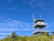
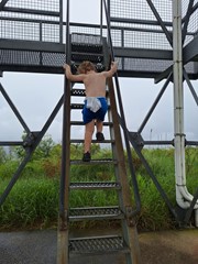
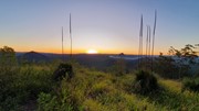
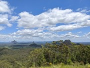
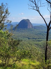
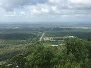
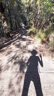
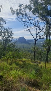
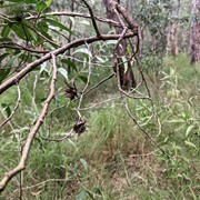
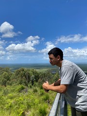
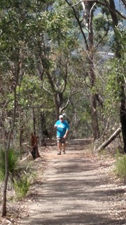
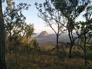
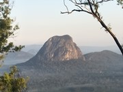
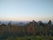
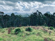
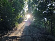
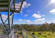
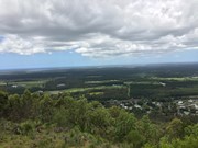
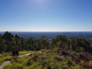
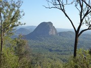
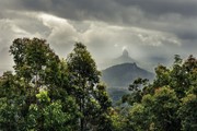
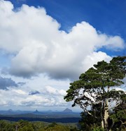
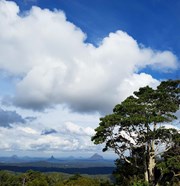
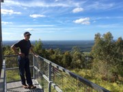
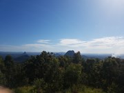
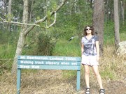
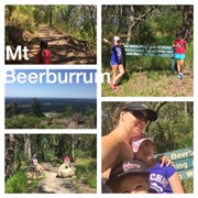
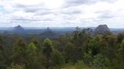
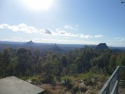
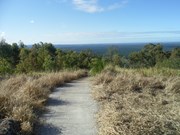
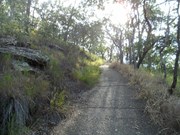
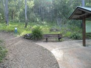
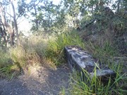
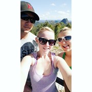
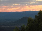
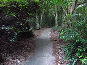
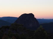
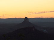
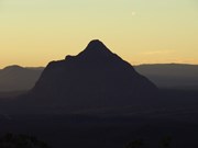
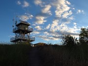
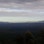
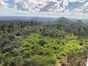
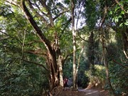
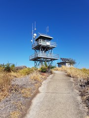
A paved but very steep walk leads 700 metres uphill through a small area of rainforest, then winds up through eucalyptus woodland to a fire tower. There is a 360 degree view of the Glass House Mountains and other parts of South East Queensland from the summit. On a clear day, Brisbane CBD is visible too. When descending the fire tower, go down backwards as you would with any ladder, several people have tried to go down forward and had very nasty accidents.
Lookouts
Bird Watching
Picnic Facilities
Toilets
No Dogs Permitted
No Camping Permitted
Eucalypt Forest
263m
Maximum Elevation
215m
Total Climb

Getting there:

Follow M1 'Bruce Highway' north from Brisbane for 55km. Leave the highway  onto Steve Irwin Way, signposted Beerwah and Glass House Mountains Tourist Drive. After 4.5km turn left into Beerburrum Road (signposted Mt Beerburrum Lookout) and turn right after 550m to the trailhead  

The access road and car park to Mount Beerburrum is now closed. Access to the Mount Beerburrum summit walk and Yul-yan-man track is now via the Beerburrum trailhead, located in the township, adjacent to Beerburrum State School.

Maps:

Glass House Mountains

Route/Trail notes:

From the trailhead car park, a zigzag track leads you up through the trees to the old car park. From hear you have a steep hike on the paved fire tower access road, that doesn't end until you are at the top. Some seats along the way to take a rest on. Great views from the first floor of the fire tower.

Return by the same route. 

Permits/Costs:

None.

Other References/Comments:

Get to the track before lunchtime to enjoy your time at the top and take plenty of water.

Comments

Good idea to do this hike as early in the day as possible!

Molly Krupa on 23 Jul, 2024

Did this summit with my 2yo son, it was a drizzly rain when we started and a down pour when we finished. The bottom 1k bush section was easy going, clear defined trail, pretty flat. But hooly dooly the paved path section is STEEP, that degree would be fine on a trail but the pavement makes it a challange, much steeper than wildhorse, which I run regularly. Going up was okay, little mister 2 did the entirety of the ascent without help, and I managed fine with the slippery path despite wearing worn out trail runners with no grip, but coming down in the pouring rain was a bit hairy. Carried the toddler in a hip wrap and did it barefooted for better grip, probably this downhill trail runners slowest ever descent! Definitely need a bit of hill fitness, and not one to tackle if you've got bad knees.

SoloTrailGirl on 19 Mar, 2024

Yep it's steep but well worth the effort.

Brendan OBrien on 30 Jul, 2023

nice

Apples on 9 Jun, 2023

Took about 100min including lunch and a beer at the top. My 5yo managed it all by herself with minimal complaining. Nice view from the fire tower

Evan on 1 May, 2023

Believe everyone - it is definitely steep! Definitely need a base level of fitness to tackle this. The footing was great, easy 1km bush walk to the base, then a concrete path for 700 metres. Omg, that 700 metres is hard. Mostly a 45 degree incline but worse in other places. Only 700 metres so it is doable with many places to sit & rest on the way up. I didn’t sit but I did stop to catch my breathe a few times. Took me 32 mins up and then I waited for hubby for 10🤣 20 mins down, hard on your legs that way too due to angle. Recommend good tread on your shoes, toppling down is a definite concern and concrete is not soft! What a brilliant way to start the day, the views are amazing. Doubtful I will be able to walk tomorrow🤣

hickChick on 28 Jan, 2023

Good view

Jay on 18 Dec, 2022

Hard slog, very steep, mostly pathway. Only challenging because it’s so steep.
Took my 4yr old who had no issues other than whinging it was so steep.

Joanne on 25 Sep, 2022

This is a very steep walk to the top, you do 1km of a walking track before you get to the concrete steep climb to the top, wear good gripping shoes for the walk back down

Vicky on 28 Aug, 2022

Nice walk. Last section near the summit is steep.

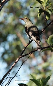
Saw lots of birds such as Scarlet Honeyeater, Yellow-Cheeked Honeyeater, Olive-backed Oriole, Fan-tailed cuckoo, Pacific Baza, Grey fan-tail and of course, Butcher birds and Noisy miners.

TMG on 5 Jun, 2022

Steep walk but well worth it for the view. Did the walk on an overcast day, track was a bit muddy but still able to be done. 90 mins total time is accurate, had to take a couple rest stops on the way up. (26yo F and 27yo M)

Sianlesley on 1 May, 2022

Steep climb, but plenty of rest stops available , and used. Take water and would avoid on hot day.

John Griffiths on 23 Mar, 2022

Up and back in 20 minutes. Steep but quick!

Amanda J on 9 Feb, 2022

Steep but great climb. Mosquito repellent is essential. They will eat you alive.

Jose on Feb, 2022

Great views but what a effort to get there very steep
Greg Harvey on 9 Jan, 2022

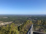
Steep but a good workout. Paved all the way to the top. Good 360 degree lookout.

Bruce on Oct, 2021

Heart starter but doesn’t take too long to reach the top, and the view is totally worth it. Well signed, paved route. Easy parking at the trailhead, you will just need to walk to another park just past the school if you need a bathroom.

wheres_wally on 27 Aug, 2021

Went to Beerburrum after a failed attempt on Tib. Its true what they say about the steep concrete walk. It's sooo steep you're leaning forward nearly parallel to the path itself. And it requires a good amount of fitness because of the incline. Alternatively just take a lot of breaks. I imagine if it's wet the concrete would be slippery and could be dangerous. Overall a good hike with a lovely view at the top.
Valda on 28 Jun, 2021

I had done Beerburrum many years ago and remembered the steepness of it but you never really are prepared for how steep it is. Good calf burner on the way up. If you have knee problems, I’d recommend a good massage and hot shower after doing this hike and the decline can be strenuous on your joints.
Wonderful views at the top!

Kdubs on 11 Jun, 2021

Being so steep and on pavement, your feet are quite angled and it was a different kind of lower calf burn. Almost anyone could walk it with breaks but looking up the path I had a couple of moments of "wow the ABW comments weren't kidding..."

Great view, will do it again.

Jack McGrath on 6 Jun, 2021

Tick walks to keep track of where you've been. You must Login to tick walks. Accounts are 100% free so sign up if you don't have one.