
Menu

 23.2
km
return
23.2
km
return
 10
hrs
10
hrs
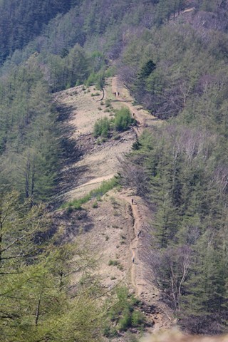
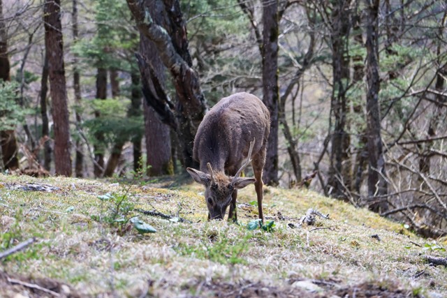
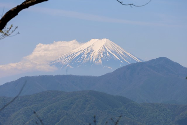
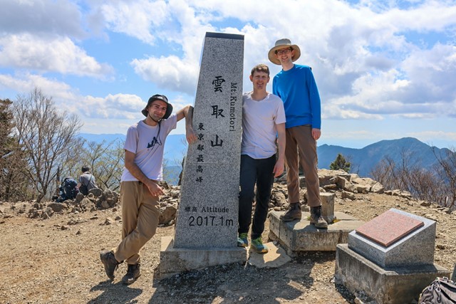
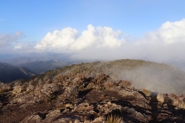
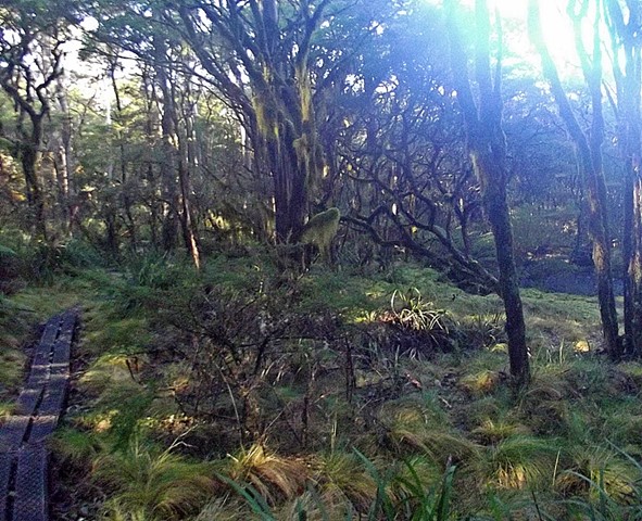
Mount Kumotoriyama 雲取山 (Chichibu-Tama-Kai National Park, Tokyo Prefecture)
Mt. Kumotoriyama is the tallest mountain in Tokyo, standing at 2017 metres. Located in the heart of Chichibu-Tama-Kai National Par, it offers great views over Tokyo and out to Mt. Fuji. If you are lucky you might even see some wild deer and if you are unlucky some wild bears.
Mt. Kumotoriyama is one of the hundred famous mountains of Japan and gets busy on weekends.
It is possible to do as a long day hike or as a two day adventure. Whichever one tickles your fancy.
 5.6
km
return
90
mins
5.6
km
return
90
mins
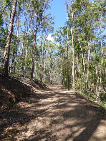
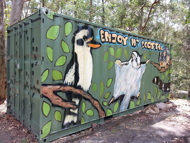
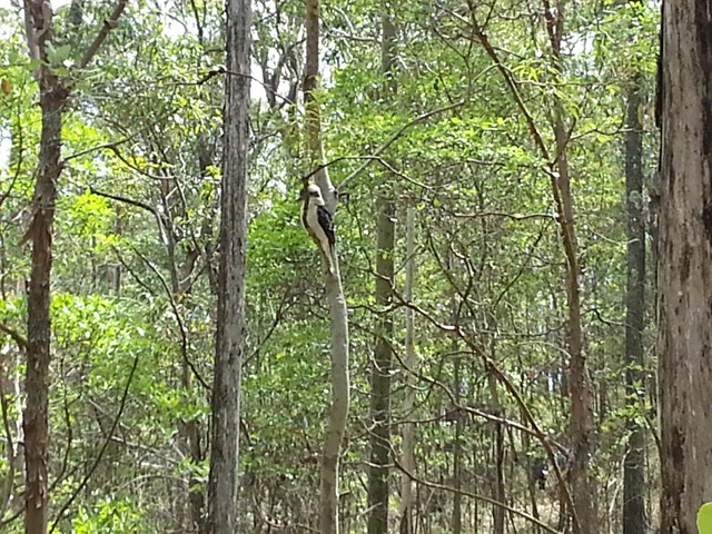
Powerful Owl Trail (return trip)
Start from either channel 9 or Silky Oaks picnic area. Well frequented wide trail.
 2.8
km
one-way
45
mins
2.8
km
one-way
45
mins
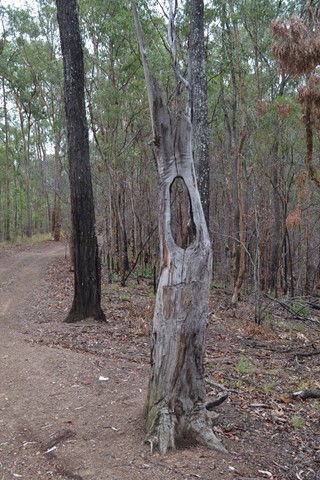
Powerful Owl Trail (one way)
After a steep initial incline, this walk tracks over the central east-west ridgeline of the mountain (roughly bisecting the area encircled by Sir Samuel Griffith Drive).
4.2
km
return
90
mins
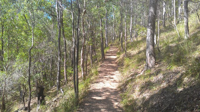
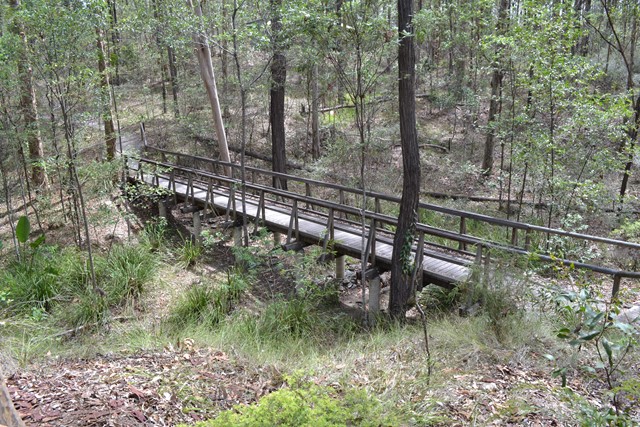
Honeyeater Track
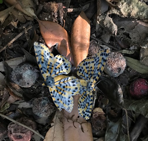
An interesting walk from near Mt Cootha summit down to Fleming Rd, the Environmental centre and back up to the start via Chapel Hill Rd Trail. You will see plenty of water dragons, butterflies and birdlife.
 7.2
km
return
2
hrs
7.2
km
return
2
hrs
Christies Loop Glen Rock State Forest
A 7.2km shared trail that starts off easy then head straight up the range before doing a loop coming back down again. Quite steep at times and rocky / gravel track. Does provide some nice views of Mt Philip and Glen Rock as you get higher up.
 1
km
return
15
mins
1
km
return
15
mins
Arthur Earle park walk (Nerang River)
Short smooth walk along the Nerang river to a fishing platform
 14.5
km
return
3
hrs
14.5
km
return
3
hrs
Mt Dromedary (Gulaga)
A solid half-day walk to the top of an extinct volcano and Aboriginal cultural site.
 5
km
return
90
mins
5
km
return
90
mins
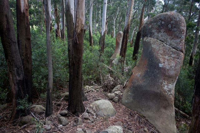
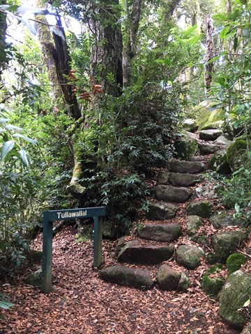
Tullawallal Circuit
This track leads through the rainforest to the summit of Tullawallal at over 950m. Also this track leads to the closest stand of Antarctic beech trees to Binna Burra. The rock formation at the end is a natural wonder that will have you guessing! Can be completed as a loop with the Border Track.
 2.4
km
return
75
mins
2.4
km
return
75
mins
Wishing Tree Track
The track passes large Brush Box and over a tree fern gully spanned by a suspension bridge down to the Wishing Tree, where you can turn left into Glow Worm Gully or ahead under the Wishing Tree to Morans Creek. This track is on private property at O’Reilly’s resort.
 7
km
3
hrs
7
km
3
hrs
Moonlight Crag, Balancing Rock and Castle Crag
Visit a few fantastic lookouts which capture the amazing Lost World Plateau, Moran's Falls and the border ranges including Mt Throakban. Can be combined with Moran's Falls, Lyrebird Lookout or the Wishing Tree walks.
 11
km
return
4
hrs
11
km
return
4
hrs
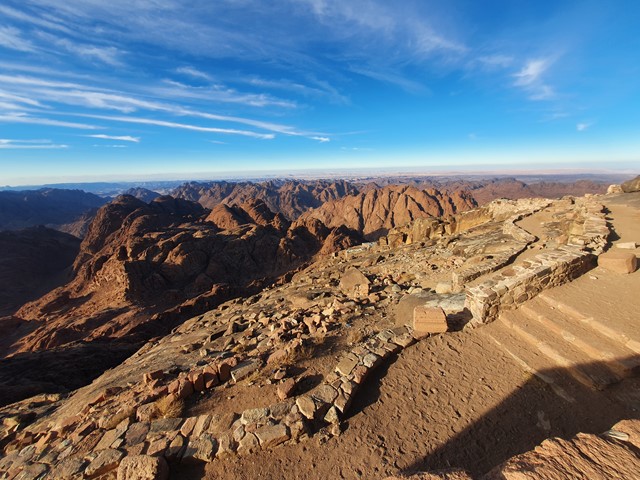
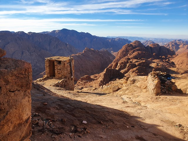
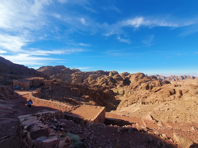
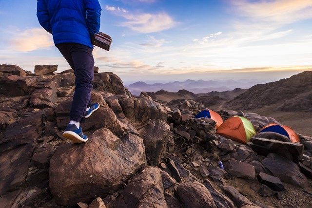
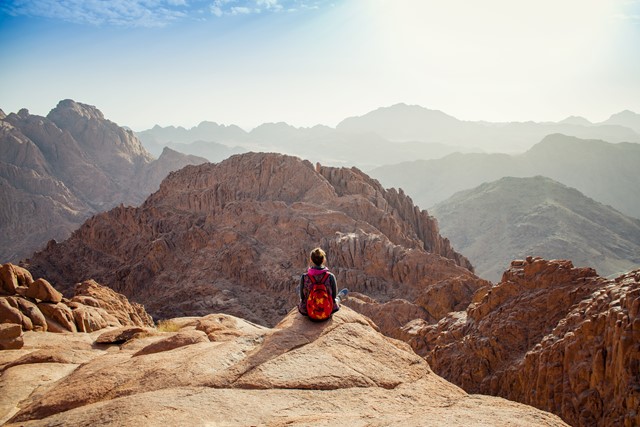
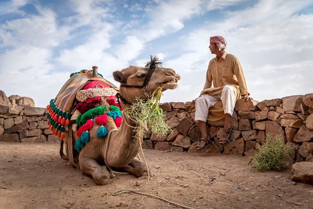
Mt Sinai
A walk to the top of probably the most religiously significant mountain in the world - the mountain where according to the Bible Moses received the 10 commandments.
 15
km
return
2
days
15
km
return
2
days
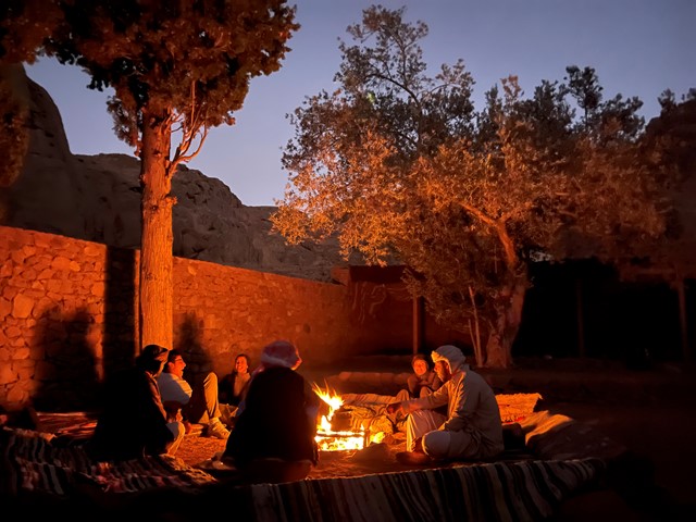
Hiking and Camping on Mount Sinai trails
You will climb the second highest peak in Egypt, Mount Moses or Mount Sinai, at an altitude of 2258 meters above sea level, the place where the Prophet Moses received the Ten Commandments and the place from which the Prophet was raised to me. We will visit all the ancient churches on the mountain and we will camp for a whole night under the stars and enjoy watching the sun rise in the morning.
What to Expect
A unique trip organized and of high quality, one night camping in Jabal Musa
Climbing the second highest peak in Egypt, Mount Moses or Mount Sinai, the oldest place for pilgrims in ancient times, the place where the Prophet Moses received the Ten Commandments, and the place where the Prophet Elijah stayed .
 3.4
km
return
90
mins
3.4
km
return
90
mins
Wrights Lookout Walk
Wrights lookout walking track takes you through a lush world of ferns and wildflowers to a rocky plateau with spectacular panoramic views looking down to Bellinger River.
The walk to Wrights Lookout takes you from the lush world of ferns and mosses to a rocky plateau with spectacular panoramic views.
It’s a bit of a scramble to get to the top (short section of steep slippery rock but not much of a scramble), but you’ll be rewarded at the end, standing on the top of an ancient trachyte remnant of Ebor Volcano, looking down to Bellinger River in the valley below.
Pack a thermos and enjoy a hot cuppa and a picnic with a view. The views from the top are beautiful all year round, but in spring the heathlands burst with colourful wildflowers. For the birdwatchers, keep your eyes out for honeyeaters as they come to feed on the flowering banksia.
 6
km
return
3
hrs
6
km
return
3
hrs
Lyrebird loop Walk
This one can be taken from a couple of points to get the loop in. Be prepared to traverse along rocky and tree root covered paths. Beware of the odd land slip and there are many steps worked into the root system of trees going up and down. Can be a loop with Upper and Lower trail.
 4
km
return
90
mins
4
km
return
90
mins
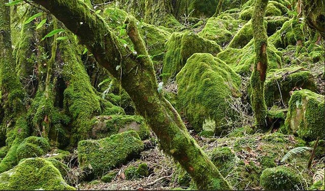
Tea Tree Falls Walk
This one starts from the Thungutti camp area adjacent to the Styx river in the New England NP NSW. Listen out for the Honey Eaters amongst the Banksia and Tea Tree and walk through forests of Hanging and Sphagnum moss that form on the path you walk. A true walk back in time to Gondwana land. If time allows, you can continue to Point Lookout.
 10
km
return
4
hrs
10
km
return
4
hrs
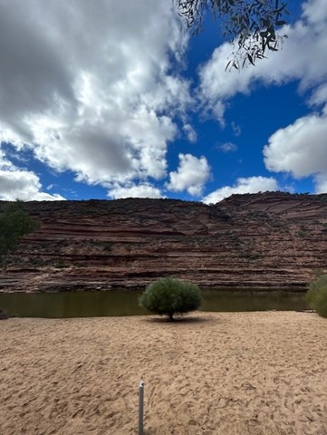
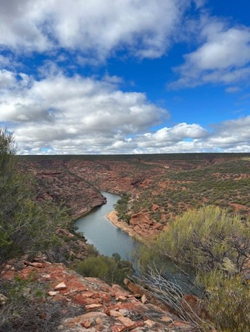
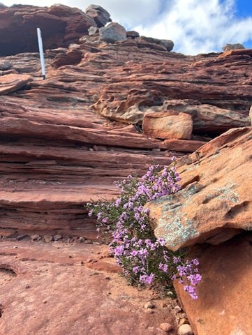
Kalbarri Loop Walk
Starting at the iconic Natures Window, follow the loop anticlockwise over the ridge, then into the gorge along the Murchison River. Monkey your way across some spots and keep an eye out for white markers to keep you on route.
The terrain is a mixture of rock, dirt and sand - you will get it all.
BRING PLENTY OF WATER EVEN IN WINTER. The rocks in the gorge emit so much heat even in mid-winter so ensure you bring more water than you think!!! I can't imagine doing this in the summer.
Bring swimmers for the many dip spots along the way.
 1000
km
77
days
1000
km
77
days
Bibbulum Track
This is a walk in planning for mid 2012 and I am looking for up to 3 walking partners. The pace will be gentle (I will be 57yo by then)and I have walked only 120km of the Alpine Track (Main Range and Jagungal)as experience. I am cautious in my expectations and will be well prepared. I am not, however, trying to break any records. I prefer people who are flexible in their attitudes, easy going, able to laugh at themselves and also able to leave any gung-ho male bravado at home!
 800
m
return
45
mins
800
m
return
45
mins
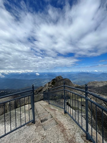
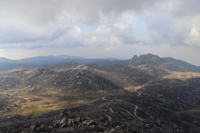
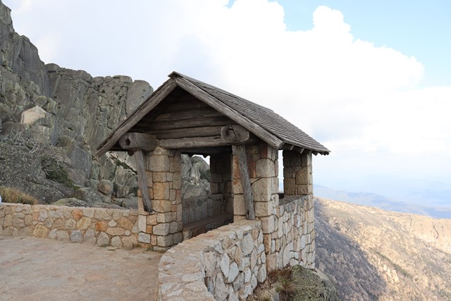
The Horn
Perched on top of granite cliffs at the edge of the Mount Buffalo plateau, The Horn is a unique landscape. Dotted here and there among the great boulders are the twisted, sun-bleached trunks of Snow Gums that have succumbed to bushfires over the years. A stone lookout shelter perched precariously atop the cliff overlooks all of this as well as the surrounding mountains far below. The Horn (1723m) is the most prominent peak of the Mount Buffalo plateau. A dirt road to The Horn picnic area which can be closed at times usually during Winter. Then the walk starts at the end of the paved road and carpark. Here, there are already magnificent views!
The walk itself is a steep ascent, narrow in places, with stairs and long hanging rock to limbo under.
Short in distance but you will work up a puff! Insane panoramic views from the top!
 100
m
return
10
mins
100
m
return
10
mins
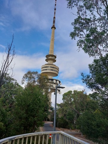
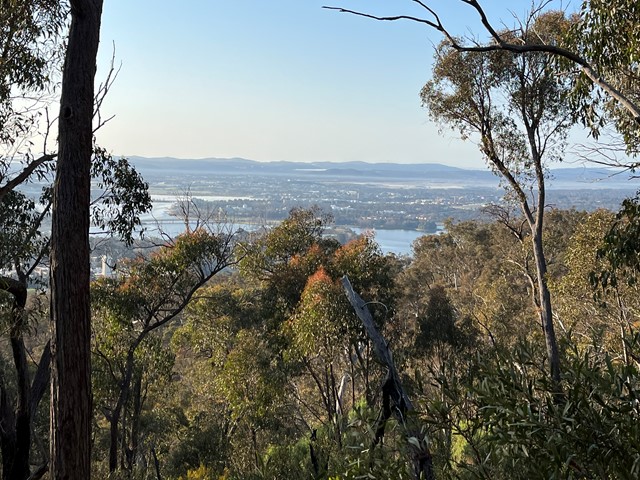
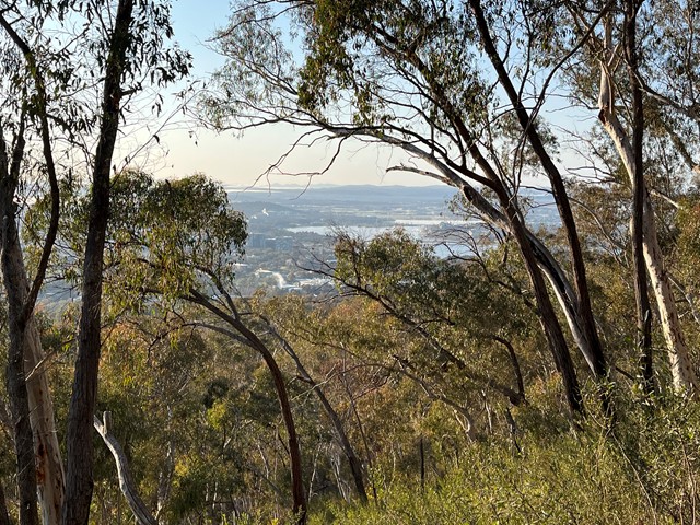
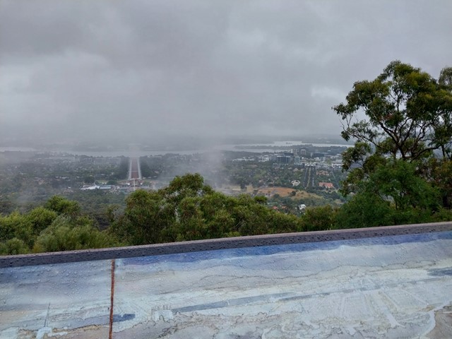
Mt Ainslie Lookout
Walk, cycle or drive to Mt Ainslie Lookout with spectacular views over Canberra.