A short but steep ascent up Mt Royal - the namesake of the Mt Royal National Park just south of the Barrington Tops.
Getting there
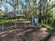
On Google maps you can find it by locating where Youngs Trail intersects Mount Royal Road. It's about 2km on from Youngville Campground and there is a sign and a picnic table marking where you need to park.
Route/Trail notes
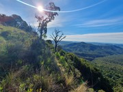
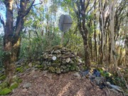
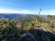
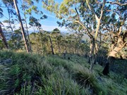
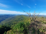
The "trail" starts from the table and chairs - there is no sign indicating that the walk starts here, the track is very faint and totally unmaintained. It is quite easy to follow - at least to begin with, as it follows the spine of the mountain all the way up to the clearing. You will be required to do some very easy scrambling to continue following the ridgeline to the best views. Though the distance is short the gradient is very steep. When you make it to the clearing you will have some excellent views, and unless you are a peak bagger you will probably be better off just stopping here. For those who want to make it to the summit cairn continue following the track into the rainforest. From here the track is extremely faint so would recommend having a GPS or a compass because it would be very easy to get turned around. It is mostly open rainforest so you can move relatively quickly. There are some nice views just before on the summit on the left side of the ridge.
Permits/Costs
Nil cost
Other References
https://www.alltrails.com/explore/trail/australia/new-south-wales/mount-royal
GPS Tracks
- No GPS available for this walk yet.



 2.7
2.7 2.5
2.5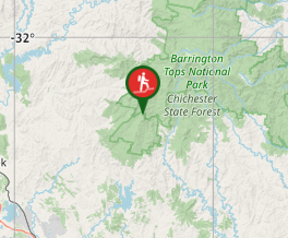
Comments