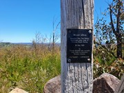
A nice half day walk along fire trails and forest tracks to the summit of Mt Jellore where you will find Australia's first trig station.
Getting there
Set your GPS to Soapy Flat Rd (2wd friendly dirt road). It is easy to miss the firetrail on your right but if you use the GPS track from alltrails you will hit it dead on. There is room to park a few cars on the left side of the road.
Route/Trail notes
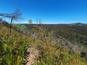
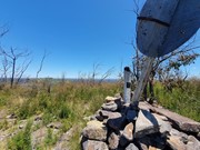
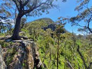
The first stage involves a mostly flat walk along firetrails. It can be a bit tricky to know which one to take as it does branch a few times but if you instictively follow the most obvious well marked one you should be right. Eventually the road will turn to a path which steeply descends into a valley. At the bottom there is a section of rope to assist you getting down to the river then back up the other side. From there it is a steep ascent up the other side of the valley to the ridgeline. Once on top of the ridge you will intercept another firetrail that will take you to the bottom of Mt Jellore. The track from here zigzags up the side until you arrive at a fairly scrubby summit cairn hosting average views of the surrounding landscape and out to the Blue Mountains. Return via the same track.
Permits/Costs
No cost
Other References
https://www.alltrails.com/trail/australia/new-south-wales/mount-jellore-summit
GPS Tracks
- No GPS available for this walk yet.



 10.3
10.3 4
4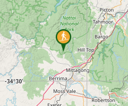
Comments