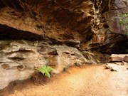
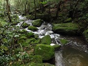
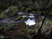
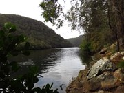
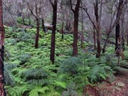
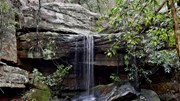
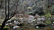
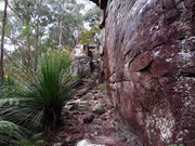
This walk follows the eastern side of the steep Berowra Creek valley from Galston Gorge to Crosslands and then heads over the ridge to follow Lyrbird Gully up to the train station at Mt Kuring-gai. This enjoyable section of The Great North Walk spends most of the time enjoying the wide tidal creeks in the deep valleys. There are many grass trees and sandstone caves to enjoy as well as several lovely places to camp. Crosslands provides road access, a chance to fill up the water bottle and an optional side trip to motel style accommodation at Crosslands Conventions centre.
Getting there
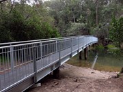
Start at the trackhead Galston Rd, GALSTON. The carpark is on the north side of the bridge crossing Berowra Creek.
Maps
Which maps cover the area?
Route/Trail notes
See reference link for step-by-step instructions, also see attached GPS file.
Galston to Crosslands (return) is a good variant to the full trip - a 14km round trip, with a nice pit stop at Crosslands.
Permits/Costs
NIL
Other References



 Galston Gorge to Mt Kuringgai (KML)
 12.6
12.6 5.5
5.5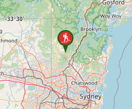
Comments