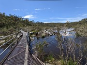
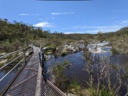
A walk to a lookout over Mihi Falls on the opposite side of a gorge in Oxley Wild Rivers National Park.
Getting there
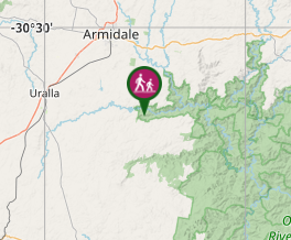
This walk begins at the Dangars Falls picnic area at Oxley Wild Rivers National Park (not to be confused with Dangar Falls near Dorrigo.) The turnoff is on the Waterfall Way near Armidale. Follow the signs from the Waterfall Way
Maps
Which maps cover the area?
Route/Trail notes
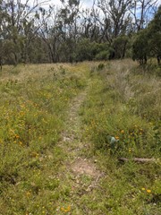
This walk follows the Salisbury Waters track before branching off to the right to go to the lookout. The lookout is in need of maintenance but is accessible for a view of the falls. Maps at the picnic area indicate that this is a loop track. However signage along the way indicates that this is no longer the case. It's one way in and one way out. The first part of the walk along the Salisbury Waters track is through woodland, but the branched off section is much more open, and at times overgrown with grasses. However, the National Park rangers were actually working on this track as we walked it. (Dec 2021)
Permits/Costs
Do you need any permits? What's the cost?
Other References
How can I find more info? Any guide books?
GPS Tracks
- No GPS available for this walk yet.


 4.5
4.5 70
70
Comments