


 6
6 4
4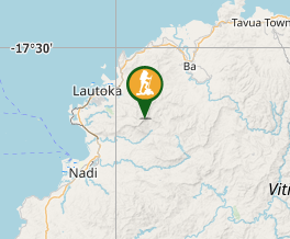
Aussie Bushwalking can keep track of your bushwalks.
Login/signup to tick this walk off.Mt Koroyanitu
Fiji
Menu
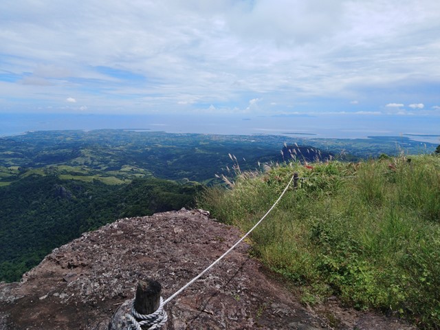
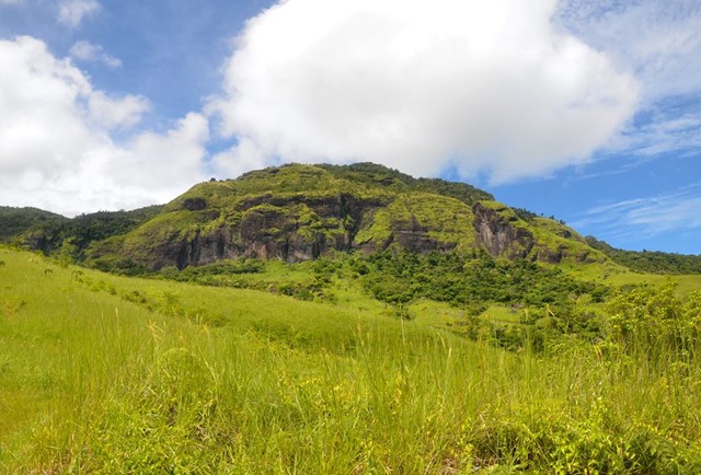
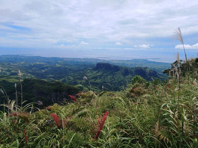
Only an hours drive away from Nadi lies the fourth highest mountain in Fiji. Well marked track to the summit with waterfalls and incredible views! Also known as Mt Batilamu or Mt Evans.
Waterfalls
Lookouts
Swimming
4WD Required
Coastal
Rainforest
1195m
Maximum Elevation
Getting there
Travel to Lautoka and then proceed inland to the village of Abaca (can search it on Google maps). The dirt road is quite steep at times and you have to cross a small river to get to the village. Upon reaching the village you will come to a traffic cone blocking the road besides a visitor centre. From here attract the attention of a local who will accept payment and point you in the right direction.
Route/Trail notes
The mountain can be climbed in 2 different ways. #1 Commence walking direct from the village and follow a very well marked track all the way to the summit. You do not need a guide, it is extremely straight forward. #2 Drive to the main carpark and walk to the big waterfall. From there you can cut across the river and intercept the summit track. This may require a guide just to point you in the right direction. Alternatively you could always walk back to the village after you've seen the waterfall and take the main track, would sacrafice around 30 minutes doing so.
Permits/Costs
$15 for entry to the park, $35 for a guide.
GPS Tracks
- No GPS available for this walk yet.
Comments