


 2
2 1
1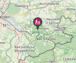
Aussie Bushwalking can keep track of your bushwalks.
Login/signup to tick this walk off.Bastei Bridge, Saxon Elbe Sand Stone National Park
Germany
Menu
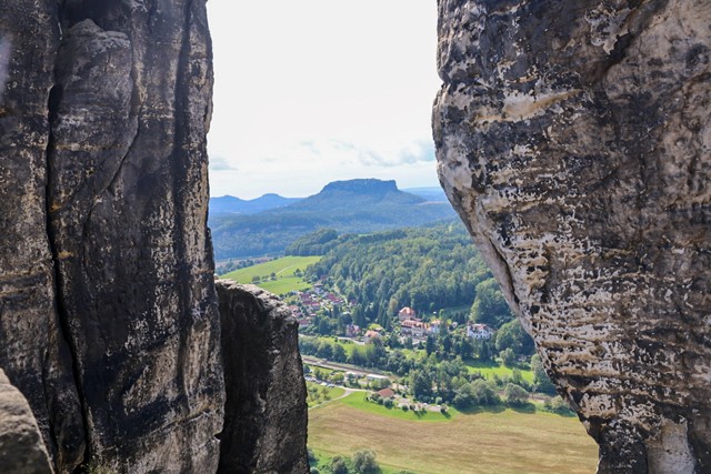
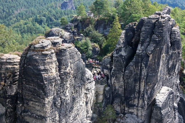
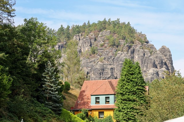
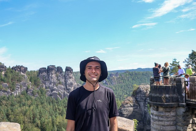
Saxon Elbe Sand Stone national park is a national park just outside of Dresden that can also be reached from Berlin as a day trip if you are keen enough. It has some unique rock formations, the highlight being a medieval castle that was built on a cliff face.
Toilets
Public Transport
Getting there
Getting to this hike can be a challenge. Many online guides will say that the starting point of the hike is in Bad Schandau, but this is a lie. Do not go to Bad Schandau as it is very difficult to access Bastei from there.
Instead take the S-bahn train from Dresden station to Rathen. Do not take long distance train or whatever Google maps says. Take the S-bahn, this is cheaper and more efficient.
From the train station in Rathen, there should be signs pointing towards a ferry. Walk down towards the verry and get a ticket. Unforunately, to buy the ticket, it is card only. And for some reason the ferry can take up to an hour to cross 50 metres of river. I don't know why, but it does. You can probably swim it faster than the ferry.
After crossing the river, follow signs towards Bastei and you will end up on the hiking path.
Maps
You can buy maps at Rathen.
Route/Trail notes
From the trail head, follow the obvious path upwards. There is only one path that is incredibly well defined so it is literally impossible to get lost. If you do, I'll give you an award. There are a few branching paths on the trail, they take you to look outs. Make sure to have a sticky beak as the views are pretty good.
Keep walking upwards and you will reach the famous bridge. After the bridge, if you keep walking, you will reach a small town where you can buy food and hot dogs.
If you are like me and are unsatisfied with a 30 minute hike, you can extend it by continuing to walk. Follow the signs that have a red marker on them. This will extend your hike by about an hour and a half and take you an epic journey through some cool rocks, some cool forest and some random German towns. Really worth it. There is no information at all about this hike in English, I tried recording it on Strava, but it glitched and the route is recorded incorrectly. I don't remember what it was called either, so good luck. Just follow the red sign post and you'll get there.
Permits/Costs
Cost of the train and ferry.
GPS Tracks
- No GPS available for this walk yet.
Comments
Nobody has commented on this walk yet. If you've done it then tick it off and add a comment.