Aussie Bushwalking can keep track of your bushwalks.
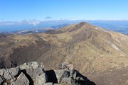
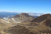
Login/signup to tick this walk off.The tallest peak on the Kyushu mainland standing at 1,791m. Stunning active volcanoes and vibrant colours. Lots of different peaks to do along the way and always changing scenery.
Getting there
Take the Kyush Odan Bus to Makinototoge where you will begin the hike Follow the path and even if you can't read Japanese, if you keep following the signs you will eventually get to the peak. Alternately you can drive and park in the carpark at Makinoto Toge.
Alternately you can begin at Chojabaru Information Center which is accessbiel via the same bus and can park there.
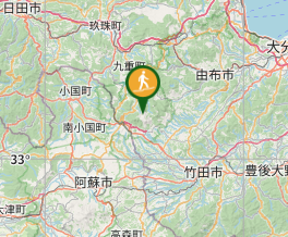
Maps
https://www.japan.travel/national-parks/parks/aso-kuju/see-and-do/mt-naka-dake-hiking-trail/
Route/Trail notes
The route is fairly straight forward. It is not too strenuous, no rock scrambling involved. There are a few ladders and can be slippery in the winter months when snow and ice builds up on the top of the volcano/mountain. Anyone can do this hike.
GPS Tracks
- No GPS available for this walk yet.


 11
11 5
5
Comments
Nobody has commented on this walk yet. If you've done it then tick it off and add a comment.