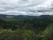
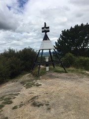
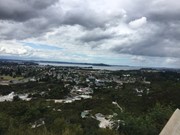
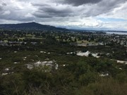
This walk is in The Redwoods or Whakarewarewa Forest and takes you to the summit of Pohaturoa which is marked by Trig B26Q. It takes you to Lower Whaka and Upper Whaka Lookouts, Trig Lookout and Waipa Lookout. The Whaka Lookouts give views of Rotorua, Lake Rotorua, Whakarewarewa Thermal Area which includes Pohutu Geyser which is said to be the largest active geyser in the Southern Hemisphere, Mt Ngongotaha, Mokoia Island and more while the Trig and Waipa Lookouts look south. A bubbling mud pool is also passed on the way up.
Watch out for mountain bikes, horses and dogs as they can share some paths with you. There are a lot of different paths as there are many exclusively mountain bike tracks so try not to stray onto them.
Getting there
How do you get to the start of the walk?
Waipa State Mill Road, MTB Carpark Waipa
Maps
Which maps cover the area?
Maps of Whakarewarewa Forest.
Route/Trail notes
A detailed description of the walk!
Start at the MTB Carpark Waipa and head over the bridge into the forest continue along the main wide path which will continue relatively straight before turning right which you shall follow past the bubbling mud pool and the path shall start heading uphill a while after once turning left and following this path roughly North shall take you to Lower Whaka Lookout, then continue up steps to Upper Whaka Lookout, then continue to the Trig station and lookout then to Waipa lookout. One can return the way they came or there is a path that loops round in a circuit to the begining or you can take a short cut on your left as you leave Waipa lookout which is a significantly smaller path which will take you back down to near the mud pool it will be further up the path on your left as you leave the short cut so to return to entrance turn right.
On the aussie bushwalking topo map the path relatively follows the mudpools link.
Permits/Costs
Do you need any permits? What's the cost?
Free
Other References
How can I find more info? Any guide books?
GPS Tracks
- No GPS available for this walk yet.



 3.2
3.2 1
1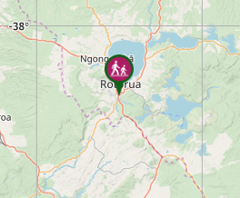
Comments
Nobody has commented on this walk yet. If you've done it then tick it off and add a comment.