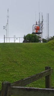
This walk takes you from the park entrance to the summits of Mount Bates and Mount Pitt, with its many heritage WWII remnants and expansive 360° views from Norfolk Island's highest peaks.
Getting there:
Flights from Brisbane and Sydney. From Burnt Pine Township roundabout, take Taylors Road west and then Grassy Road north past the hospital. At the junction with Mission Road, carry straight on into Mountain Pitt Road and park on the right just outside the National Park.
Maps:
Norfolk Island NP Walks. There is also a free 'Visit Norfolk Island' app available.
Route/Trail notes:
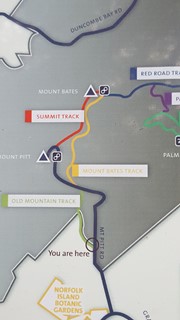
From the park entrance take the left hand side walking track known as Old Mountain Track, which cuts across the roadway onto Mt Bates Track. At its junction with Red Road Track, head up left on the Summit Track to Mount Bates. From here, you continue on the Summit Track across to Mount Pitt, before heading down the roadway till you reach Old Mountain Track on your right and follow this back to the park entrance.
Permits/Costs:
None.
Other References/Comments:
Information Boards are provided along the tracks and at the summits, as this area was heavily used in WWII.
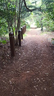
National Parks have done a great job of making all their tracks 'tourist friendly' with very good signage, information boards and clear structured pathways, which can be pretty steep in places. First NP I have come across that allows on leash dogs, all be it you are unlikely to take your dog on holiday here! There are baited traps everywhere, which helps keep the rodent population of Polynesian and Brown Rats down.
The GPS track posted is accurate, but unfortunately for some reason, the elevations are way out.
With no snakes to watch out for, keep your eyes peeled for the prolific bird life. Not sure what bird it is (visual or sound), then download the free 'Norfolk Islands Birds' app produced by National Parks. Could it be the elusive and endangered Green Parrot of which there are only 200 left?


 280 Mount Pitt (GPX)
 3.7
3.7 90
90
Comments