


 6.8
6.8 3
3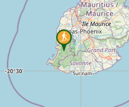
Aussie Bushwalking can keep track of your bushwalks.
Login/signup to tick this walk off.Piton de la Petite Rivière Noire
Overseas
Menu
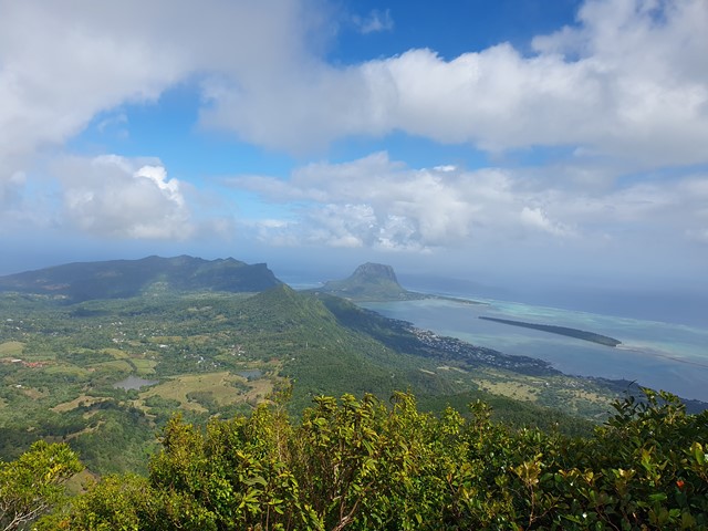
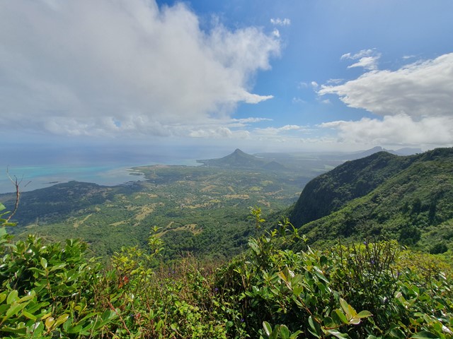
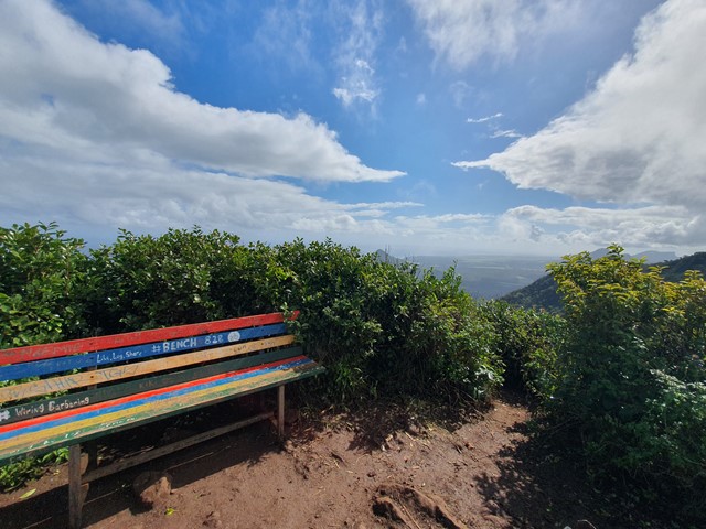
A relatively short walk and scramble up to the highest mountain in Mauritius where you will find a bench of reflection and 360 degree views.
Waterfalls
Lookouts
Bird Watching
Scrambling or Climbing
Coastal
828m
Maximum Elevation
Getting there
Set your GPS to Black River Peak Hiking Trailhead. There is space for a few cars, failing that you can park at the Gorges viewpoint a short distance away.
Route/Trail notes
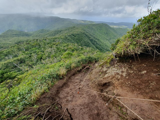
The track is well signed and easy to follow. It is fairly undulating with only the last section really being steep uphill. Beware if you go after rain as the track becomes a quagmire with unavoidable ankle deep mud pretty well the entire way. The last section is a short steep scramble with fixed ropes to assist you.
Permits/Costs
Free
Other References
https://www.alltrails.com/explore/trail/mauritius/savanne/piton-mauritius-trail
GPS Tracks
- No GPS available for this walk yet.
Comments