Aussie Bushwalking can keep track of your bushwalks.
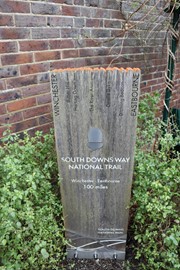
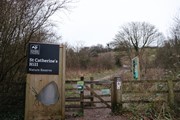
Login/signup to tick this walk off.Start in the heart of historic Winchester before following the first few hundred metres of the 160km Southern Downs Way along banks of the River Itchen before following the Itchen Navigation into the Southern Downs National Park at Saint Catherine's Hill (97m).
Getting there
How do you get to the start of the walk?
Start in the centre of Winchester at the cathedral.
Maps
Which maps cover the area?
Maps of Winchester
Route/Trail notes
A detailed description of the walk!
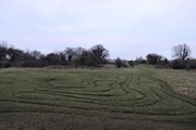
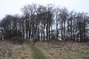
Start in the centre of Winchester at the cathedral and then make your way down the main street past the Statue of King Alfred the Great until you reach the historic City Mill on the River Itchen. This is the designated start point of the 160km long Southern Downs Way and we shall have the privilage of walking the first few hundred metres on this walk as we follow the River Itchen South past remnants of Winchester's Roman Walls and then around Wolvesey Castle and across the river Itchen on College Walk. Here the Southern Downs Way leaves the River Itchen whereas we shall briefly stroll down Domum Road before joining the pilgrim's trail which runs aside the Itchen Navigation a canal that connects to the River Itchen. We shall pass Palmerfield along this path before reaching Garnier Road and Garnier Road Carpark where we can begin our ascent up Saint Catherine's Hill. Once at the summit you can choose to retrace your steps or to continue your wander in the Southern Downs National Park and find a new route back into the centre of town.
Permits/Costs
Do you need any permits? What's the cost?
Free
Other References
How can I find more info? Any guide books?
GPS Tracks
- No GPS available for this walk yet.






 7
7 3
3
Comments
Nobody has commented on this walk yet. If you've done it then tick it off and add a comment.