Aussie Bushwalking can keep track of your bushwalks.
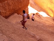
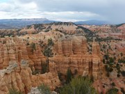
Login/signup to tick this walk off.Several hikes in this park to from Medium to Hard. All provide stunning scenery. The most popular is the Navajo Trail , does go zig zag down and is a loop so goes back up again and some level of fitness is required but worth the hike.
Lookouts
No Dogs Permitted
Camping Permitted
Alpine
2421m
Maximum Elevation
181m
Total Climb
Getting there
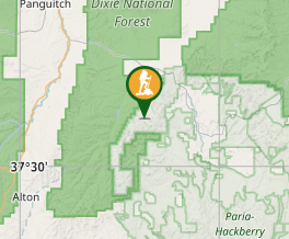
Head to entrance of Bryce Canyon
Maps
Visit the National Park Service website ( Utah )
Route/Trail notes
Several hikes but most are loose sandy gravel surface
Permits/Costs
We had a National Park Pass allowing us to access most on our road / hike trip
Other References
The National Park Service website and perhaps Tripsadviser as this is a major tourist destination
GPS Tracks
- No GPS available for this walk yet.


 5.4
5.4 2.25
2.25
Comments