
Josephine Falls
Wooroonooran National Park


Menu
GPS Tracks
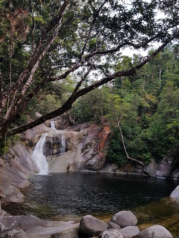

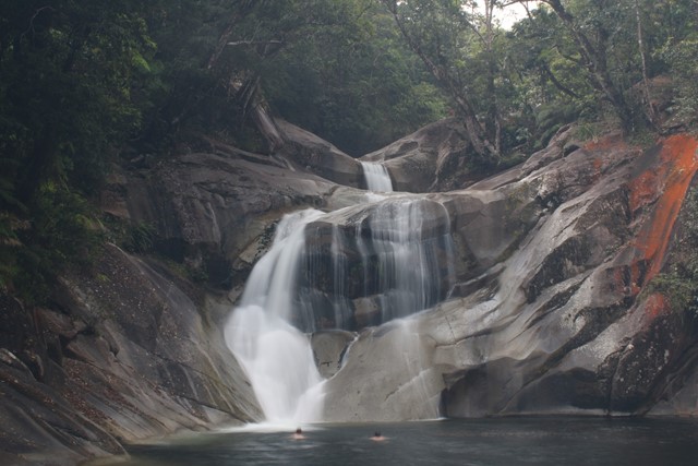
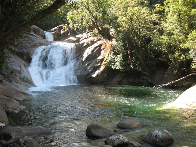
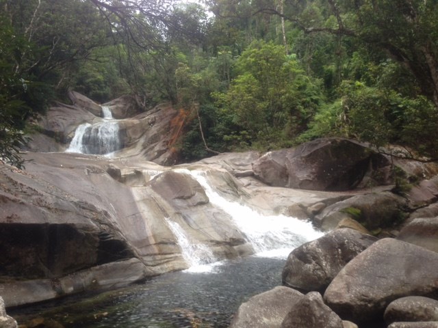

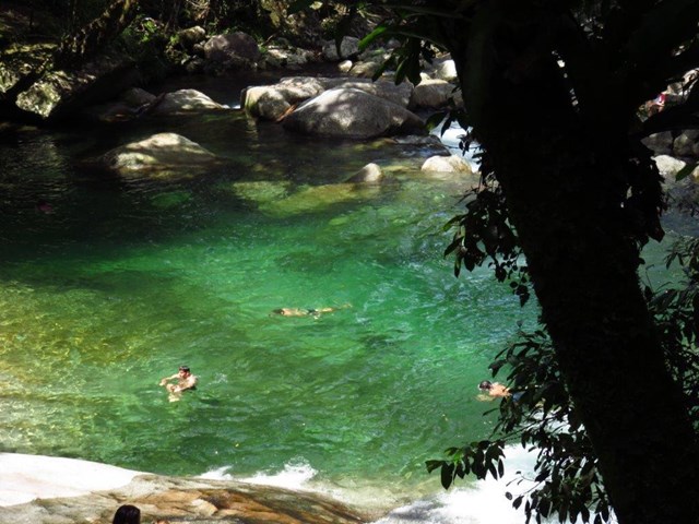
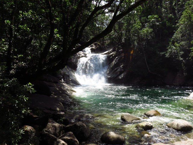
A short walk through Wooroonooran National Rainforest along a small creek that leads to the base of the Josephine Falls and a natural waterslide.


Getting there:
On the Bruce Highway south of Babinda is the turn off to Mount Bartle Frere, the highest mountain in Queensland. Take this road and follow the signs to Josephine Falls.
Maps:
Route/Trail notes:
The route comprises of access to three areas of the falls. From the car park head north and take the first exit to the right to the Bottom Pool. Backtrack onto the main track taking the second exit right to the lookout at Middle Creek. Back again onto the main track that takes you to the top of the falls lookout and Top Pool.
Permits/Costs:
No permits or costs. There are picnic tables at the car park.
Comments:
Access to 'Top Pool' is not permitted for safety reasons. From the car park, the left hand track is the commencement of the Mount Bartle Frere Eastern Approach.
 11 Josephine Falls (GPX)
 1.6
1.6 1
1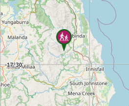
Comments