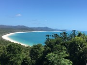
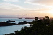
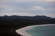
Whitehaven lookout has some stunning views once you make it to the top. The track is roughly 2kms long with lots of stairs. Track is very clearly marked, so you can't get lost. Once at the top you get views all the way to hill inlet and beyond, on the opposite side of the island you can see Chance bay and beyond. One other note is its the only place on the island that has full reception.
Getting there
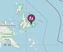
Only way to get there is by boat. Track starts at the southern end of Whitehaven beach, just behind the campground.
Maps
Which maps cover the area?
Route/Trail notes
Track starts just behind the campground at the southern end of Whitehaven beach. There are toilets at the start of the track. The track is very clearly marked and has lots of stairs. Once you get close to the top their is a fork in the track, but this is just where it turns into a loop and you can go either way to get to the top.
Permits/Costs
No permits needed unless camping.
Other References
How can I find more info? Any guide books?
GPS Tracks
- No GPS available for this walk yet.


 2
2 1
1
Comments