


 13
13 4
4- Holmans break (Brisbane Forest park D'Aguilar National Park)
- Araucaria Track (Brisbane Forest park D'Aguilar National Park)
- Corymbia Circuit (Brisbane Forest park D'Aguilar National Park)
- Enoggera Reservoir Circuit (Brisbane Forest park D'Aguilar National Park)
- Enoggera Reservoir Tunnel (Brisbane Forest park D'Aguilar National Park)
Enoggera Creek walk
Brisbane City Council Local Walks
Menu
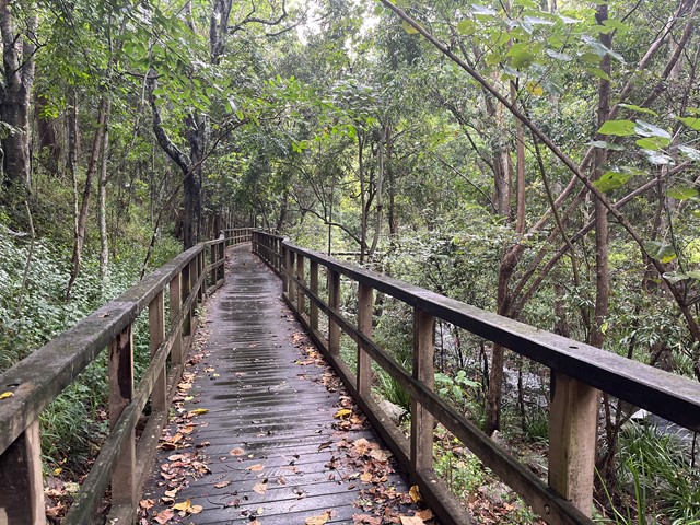
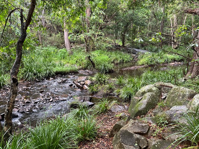
Walk along the Enoggera Creek from the Enoggera Reservoir to Bowen Bridge, where the creek joins Breakfast Creek and Brisbane River. Crossing the suburbs The Gap, Ashgrove, Newmarket, Herston and many of the local parks. Mostly following the Enoggera Creek Bikeway.
Bird Watching
Heritage Sites
Picnic Facilities
BBQ
Toilets
Public Transport
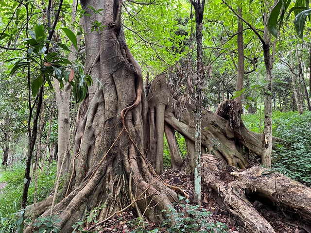
Eucalypt Forest
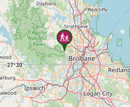
Getting there
How do you get to the start of the walk?
End of Busline 385 to the Enoggera Reservoir.
Maps
Which maps cover the area?
Use the Aussie Bushwalking App Map, especially for the first part from the reservoir.
Route/Trail notes
A detailed description of the walk!
The first part from the reservoir to the Ashgrove Golf Course is a real bush track with rocks, tree roots and steps along the creek (medium grade). After the Golf Course, the walk follows the Enoggera Bike Way.
Permits/Costs
Do you need any permits? What's the cost?
Other References
How can I find more info? Any guide books?
GPS Tracks
- No GPS available for this walk yet.
Where
Click here to load this map.
Comments