- Corymbia Circuit (Brisbane Forest park D'Aguilar National Park)
- Holmans break (Brisbane Forest park D'Aguilar National Park)
- Araucaria Track (Brisbane Forest park D'Aguilar National Park)
- Enoggera Reservoir Circuit (Brisbane Forest park D'Aguilar National Park)
- Bellbird Grove Access Trail (D'Aguilar National Park)
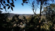
A steep paved walk to the top of the Keperra Lookout. There are seats at the summit to look over Mount Coot-tha and the Flinders Peak group in the distance. The track loops back down a steep and loose fire trail which drops off the North side of the summit.
Getting there
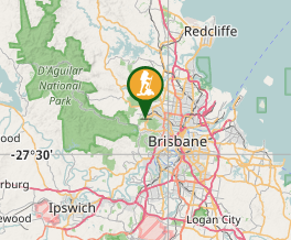
Turn left from Samford Rd onto Settlement Rd and turn right into Mungarie St. Stop about 200m near the dog off leash area.
Maps
Nil
Route/Trail notes
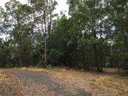
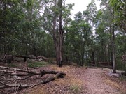
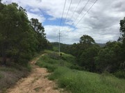
From the dog off leash area walk towards the culvert over the creek and walk up the easement next to the house at the top of the hill turn right. Follow the firetrail down to the right, following the power lines and then turn uphill at the junction of firetrails, turn left uphill and follow this steep trail to the next junction. turn left to the summit about 220m and enjoy the views of Mt. Coot-tha & Flinders Peak Group. Return to the junction and turn left and follow this firetrail downhill past the house that was destroyed in the November 2008 storm to an uphill part where the firetrail turns right downhill on bitumen. There are numerous off shoots to explore. Follow the bitumen down to the flats at bottom and if you wish walk back up the street to Mungarie St or follow a rough path over the firetrail way, following the Power lines.
Permits/Costs
Nil
Other References
Nil
GPS Tracks
Where




 Keperra circuit (anti-clockwise) (GPX)
 3.4
3.4 90
90
Comments