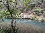
From creek to mountain through the bush. Views towards the east from Mt Nathan.
Lookouts
Picnic Facilities
Rainforest
Eucalypt Forest
250m
Maximum Elevation
Getting there
How do you get to the start of the walk?
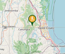
Start at Little Clagiraba Reserve, off Clagiraba Road (next to Clagiraba Creek).
Maps
Which maps cover the area?
Aussie Bushwalking map is sufficient. No signage though.
Route/Trail notes
A detailed description of the walk!
Walk across the reserve (starts behind the bolted chairs that face the trees) cross the creek (trail visible) and use common sense. First intersection on the map take the middle path. Straight uphill.
Permits/Costs
Do you need any permits? What's the cost?
Other References
How can I find more info? Any guide books?
GPS Tracks
- No GPS available for this walk yet.


 6
6 2.5
2.5
Comments