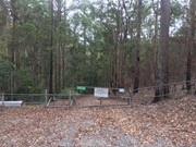
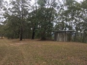
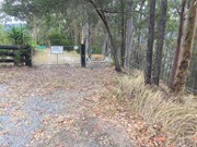
The trail begins at the end of Little Nerang road and runs along the Southern portion of the Tallai range before running down it's Western flanks above Advancetown Lake (Hinze Dam) to Gold Coast Springbrook Road.
Getting there
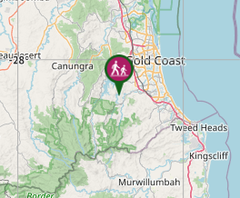
One trail head at the end of Little Nerang Road and the other located just off Gold Coast Sprinbrook Road.
Maps
Which maps cover the area?
Maps of Advancetown Lake (Hinze Dam) Trail network.
Route/Trail notes
From the Little Nerang road end the trail travels along the ridge line where it reaches a track junction straight ahead the trail continues along the ridge line and can be followed down to the far end, the far right branch goes down to the shoreline, while the middle option is the continuation of the trail. A little futher down the trail there is another junction with the right hand trail running down to the shoreline and the left hand continuing to the road.
Permits/Costs
N/a
Other References
How can I find more info? Any guide books?


 Neranwood Multi Use Trail (GPX)
 2.3
2.3 30
30
Comments
Nobody has commented on this walk yet. If you've done it then tick it off and add a comment.