An alternative, more challenging route to the summit, located on the north-western ridge, accessible from the northern end of South Coolum Road.
Getting there:
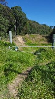
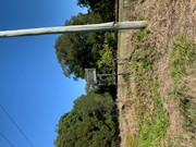
Turn off the David Low Way 6km south of Coolum Beach township or 3km north of Marcoola township into Tanah Street West. Follow Tanah Street West for approximately 1.7km (you will pass the car park for the main tourist route), which will become Toolga Street. You will come to the bottom of a relatively steep crest just before the start of South Coolum Road, with limited space for parking on the left near the steel triangular gate.
Maps:
Google Map Mount Coolum Powerline Track
Route/Trail notes:
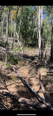
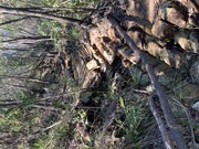
From the triangular steel gate, follow the gravel track beneath the powerlines. After approximately 120 metres, there will be two power poles to your right (one has a support wire you will pass under) near a large rock. Here a rough footpad to the left enters the treeline. Follow this path (be careful it is rough and at times ill defined and covered with fallen branches), and you will eventually reach another set of powerlines ascending the mountain, with a rocky outcrop to your right. Turn left and the track follows beneath these lines to the summit, where you emerge just behind the brick building.
Return either by following the same route or the tourist route (which includes an additional 1.3km walk along Tanah Road West back to your vehicle).
Permits/Costs:
None.
Other References/Comments:
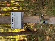
Remain on Council Reserve and National Park by staying on the track and do not venture onto private property.




 Mount Coolum Powerline Track (GPX)
 1.6
1.6 90
90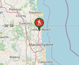
Comments