
Fishers Point Trail
Southwest National Park


Menu
Walk out to a point along the beaches with some historic ruins at the end.
Swimming
Coastal
20m
Maximum Elevation
45m
Total Climb

Getting there
How do you get to the start of the walk?
End of Cockle Creek Rd
Maps
Which maps cover the area?
Maps of Cockle Creek area of South West NP
Route/Trail notes
A detailed description of the walk!
Head out to the Whale Sculpture then along three beaches and though a little overland stretch and out to the point & ruins then return.
Permits/Costs
Do you need any permits? What's the cost?
Free
Other References
How can I find more info? Any guide books?
GPS Tracks
- No GPS available for this walk yet.
 5
5 2
2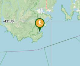
Comments
Nobody has commented on this walk yet. If you've done it then tick it off and add a comment.