
The Chalet to Mount Wellington Summit
Wellington Park


Menu
A walk from the Chalet to Summit one way.
Lookouts
Toilets
Alpine
1271m
Maximum Elevation
99m
Total Climb

Getting there
How do you get to the start of the walk?
The Chalet on Pinnacle Rd
Maps
Which maps cover the area?
Maps of Wellington Park
Route/Trail notes
A detailed description of the walk!
From the Chalet follow the Organ Pipes Track and then join the Zig Zag Track to reach the summit.
Permits/Costs
Do you need any permits? What's the cost?
Free
Other References
How can I find more info? Any guide books?
GPS Tracks
- No GPS available for this walk yet.
 4
4 90
90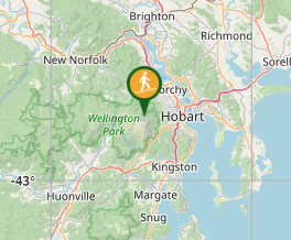
Comments
Nobody has commented on this walk yet. If you've done it then tick it off and add a comment.