
Kelly Basin Trail
West Coast Tasmania


Menu
A wonderful hike at the end of a scenic drive. Following the Bird River to the edge of Macquarie Harbour where the ruins of the historic town of East Pillinger lie.
Heritage Sites
111m
Maximum Elevation
356m
Total Climb

Getting there
How do you get to the start of the walk?
The end of Kelly Basin Rd.
Maps
Which maps cover the area?
Maps of Macquarie Harbour
Route/Trail notes
A detailed description of the walk!
Shortly after starting the walk cross the Bird River on the new bridge with good views of the old bridge. Then follow the Bird River all the way to the edge of Macquarie Harbour and the historic town of East Pillinger.
Permits/Costs
Do you need any permits? What's the cost?
Free
Other References
How can I find more info? Any guide books?
GPS Tracks
- No GPS available for this walk yet.
 11.7
11.7 4
4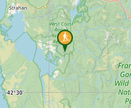
Comments
Nobody has commented on this walk yet. If you've done it then tick it off and add a comment.