An historic trail that links the Kings Bridge to the First Basin, with
a series of zig–zags that climb high above the Cataract Gorge
Reserve. Popular with runners, this Trail has been described as
‘testing the lungs of travellers’, but the views from the track are
well worth the effort.
Getting there
Start at the Cataract Gorge carpark: 74-90 Basin Rd, Launceston TAS 7250.
Maps
Which maps cover the area?
Route/Trail notes
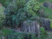
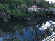
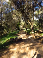
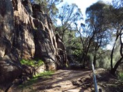
From the end of the main parking area, take the high road to the right, a paved road called Inclinator Track that leads to Zig-Zag Track. Inclinator Track stays up along the ridge above First Basin, providing an overview of this wide area between narrow stretches of Cataract Gorge. You will pass both the charlift, which gives visitors a ride across the gorge, and the inclinator. After less then 150 meters on Inclinator Track, the pavement ends and you will continue onto a dirt trail. This first stretch of dirt quickly leads to a T-junction with Zig-Zag Track. Turn right to take Zig-Zag Track up and along the bluff on the southeast side of Cataract Gorge. Continue along the signed path.
Permits/Costs
NIL
Other References
http://edenholme.com/2012/walking-tracks-at-cataract-gorge
http://www.hikespeak.com/trails/cataract-gorge-launceston-au/




 Zig Zag Track (KML)
 1
1 30
30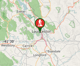
Comments