Aussie Bushwalking can keep track of your bushwalks.
Login/signup to tick this walk off.Mount Bruce is the second-tallest peak in Western Australia at 1235m and lies about 36km west of the park office. The walking tracks on the mountain provide a great opportunity to view the Marandoo Mine Site located to the south. The easiest walk is the Marandoo View which is a 500m walk and takes about 30 minutes round trip. For a slightly harder walk, you can take the Honey Hakea Track which is a 4.6km round trip that is about a 3 hour journey.
Getting there
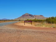
Mt Bruce Access Rd is an easy dirt road off Karijini Dr leading to the carpark.
Route/Trail notes
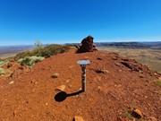
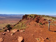
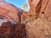
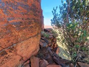
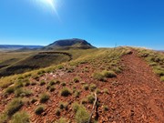
From the carpark you will follow a very well marked track that leads all the way to the summit. You will notice the mountain is a bit like a staircase, a very steep section of hiking/climbing followed by a long flat section, and then repeat. There is one moderately difficult scrambling section where you have to climb a near vertical wall followed by a steep section with loose rocks and moderate exposure. For the remainder it is mostly just hiking and a little bit of rock hopping. The views from the summit could very well be the best in WA!
Permits/Costs
$15 per vehicle per day
Other References
https://trailswa.com.au/trails/mt-bruce-summit/print
GPS Tracks
- No GPS available for this walk yet.



 10
10 4
4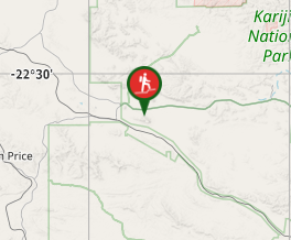
Comments