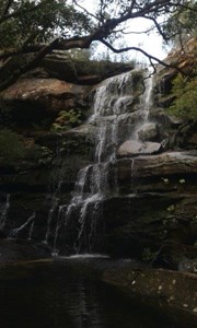
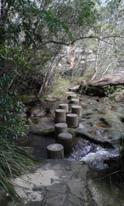
This walk starts from the Girrakool Picnic Area and winds south, through the Brisbane Waters National Park. The walk crosses some long rock flats and climbs to the top of Scopas Peak, providing views spanning right across the park. The walk then continues down to Wondabyne Station, and provides a side trip to Kariong Brook Falls.
Getting there
Girrakool Picnic Area is accessible by car, but you can also get to it from the Australian Reptile Park (accessible via bus, car or taxi), it's a 15 minute walk from the park entrance.
Maps
Which maps cover the area?
Route/Trail notes
See link for full track directions: http://www.wildwalks.com/bushwalking-and-hiking-in-nsw/brisbane-water-national-park/girrakool-to-wondabyne-station.html
Permits/Costs
Do you need any permits? What's the cost?
Other References
http://www.nationalparks.nsw.gov.au/brisbane-water-national-park
http://www.nationalparks.nsw.gov.au/parks?keyword=Brisbane%20Water%20National%20Park



 Girrakool to Wondabyne Station (KML)
 13
13 4.5
4.5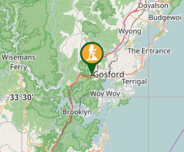
Comments