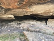
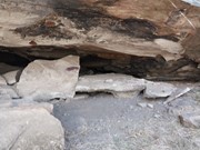
Tara Cave walking track is ideal for bushwalkers interested in the area’s Aboriginal culture. The track leads to Tara Cave, which has evidence of Aboriginal occupation and along the way there are interpretive displays about the local Aboriginal people’s connection with the land.
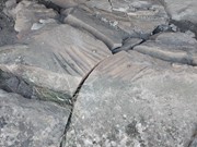
Until recently, Aboriginal people used caves in the area for shelter. Tara Cave was also used for manufacturing stone tools, and you can see a stone slab with ‘grinding grooves’ at the cave entrance.
Getting there:
From Coonabarabran travel along Timor Road that becomes John Renshaw Parkway once you enter the National Park. Continue along John Renshaw Parkway and travel 5km past the Visitor Centre and turn right into the car park marked Old Woodshed Picnic Area.
From Tooraweenah, follow John Renshaw Parkway for approximately 30km, then turn left into the car park.
Maps:
Warrumbungle National Park Map
Route/Trail notes:
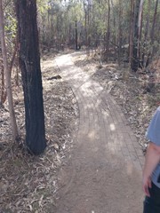
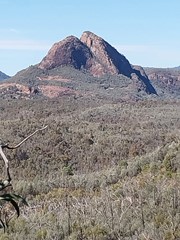
From the bottom of the Old Woolshed picnic area, the trail leads you across Wambelong Creek (there is no bridge, so take care if there has been recent rains) and through a grassy valley. Much of the track is paved as you gently climb through eucalypt forest to the remarkable Pilliga sandstone slopes. Here you’ll find Tara Cave and spectacular views of Warrumbungle National Park’s skyline.
Return by the same route.
Permits/Costs:
National Park entry fee applies (2023 = $8 per vehicle/day). Park entry fees and camping permits can only be purchased online from National Parks NSW. The campgrounds are along John Renshaw Parkway.




 415 Tara Cave (GPX)
 4
4 90
90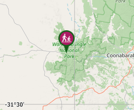
Comments