Menu
Hike across lava to a crater.
Getting there
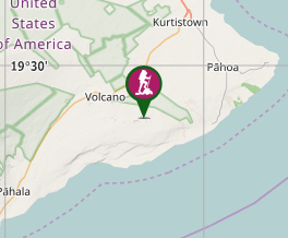
Drive to the parking lot.
Maps
At the end of the parking lot the trail starts towards the left. It's a bit hard to make out at first; look for cairns. After about 2 km the trail will fork; follow the signs. The closest place to go to is Puʻu Huluhulu. This is a cinder cone with a crater on top that has been re-vegegated. You hike to the top of the cinder cone and can peer down into the crater which full of trees. Another destination option is Mauna Ulu. This is also a cinder cone but bigger and no vegetation. The trail also continues on past these places for many miles.
Route/Trail notes
A detailed description of the walk!
Permits/Costs
Do you need any permits? What's the cost?
Other References
How can I find more info? Any guide books?
GPS Tracks
- No GPS available for this walk yet.


 4
4 2
2
Comments