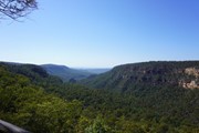
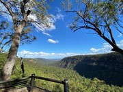
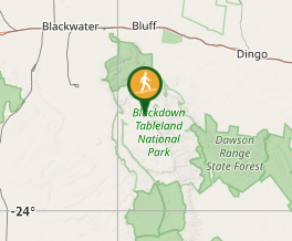
This walk starts opposite the Munall campground turn-off. Follow the track across Mimosa Creek and over gentle ridges to a lookout on the edge of the tableland, offering views of sandstone cliffs and distant ranges.
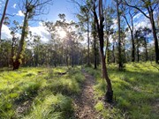
Beautiful meander along south Mimosa creek, a very well defined track with an easy creek crossing. (Crossed just after a day of rain and no issues keeping feet dry)
An incline up a very well defined track, to a beautiful lookout.
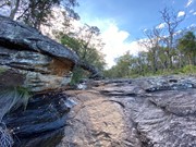
Wandered back down to the creek crossing and headed south along the creek itself. Amazing rock features along the way and one of the largest free standing boulders I’ve seen. The creek has a large drop off so couldn’t continue. No real view, but was still worth it.
Headed back up and back the same way along the track.
Navigation to some bushwalks can be difficult. Automated navigation using Google Maps or Apple Maps may not be accurate.
Additionally, Aussie Bushwalking doesn't always have accurate positions for where to park for a walk.
Please read the walk description for special directions and take extra care.
Medium
2.4kmreturn
50mins
These values are provided by users. Your evaluation may differ.
Comments