
Mount Whitfield Conservation Park
Far North Queensland


Menu

Mount Whitfield Conservation Park Red and Blue Circuits including Summits of Mount Whitfield and Lumley Hill.

Getting there
How do you get to the start of the walk?
Maps
Which maps cover the area?
Route/Trail notes
Take the red route from the Botanic Gardens carpark and ascend the hill until the route becomes unsealed marking the start of the blue route. Continue on ascending the mountain until 300m above sea level. The path is circular and has many short ascents descents until you get to the Lumley Hill lookout turnoff. The blue route then descends and hugs the eastern side of the mountain eventually crossing the seasonal creek and then back to the top of the red route. Care must be taken on the route and it is narrow and steep drop offs with lots of rocks and tree routes on the path. There is a sign at the start of the route warning walkers of dangers and warns not to attempt the route after 4pm. Sunlight is also limited near the creek section with a dense tree canopy and no direct sunlight in the afternoon. Next G coverage is available and plenty of rest seats are available along the route. This is a rainforest walk so plenty of water must be considered.
Permits/Costs
Do you need any permits? What's the cost?
Other References
How can I find more info? Any guide books?
GPS Tracks
- No GPS available for this walk yet.
 6
6 3
3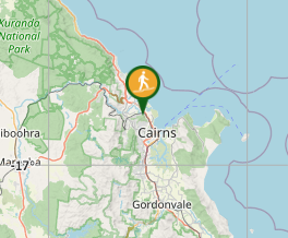
Comments