- Moreton Bay Cycle Way (Shorncliffe to Woody Point section) (South East Queensland)
- Billai Dhagun Circuit (Brisbane City Council Local Walks)
- Boondall Wetlands Bikeway (Brisbane City Council Local Walks)
- Jim Soorley Bikeway and Wetlands (South East Queensland)
- Tinchi Tamba Wetlands (Brisbane City Council Local Walks)
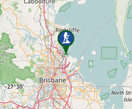
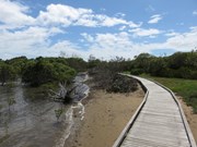
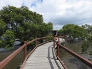
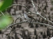
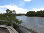
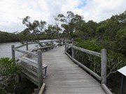
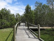
This track is in the Boondal wetlands and passes through mangroves fringing the shores of Moreton Bay and the banks of Nudgee Creek. Birdlife abounds in the mangroves and a birdhide overlooks the tidal flats at the creek mouth. The boardwalk allows you to explore the mangroves at anytime. but make sure you carry repellent as the sandies can be murder. The name means "Place of salt water"
Getting there
Drive to the end of O'Quinn Street, NUDGEE BEACH QLD.
Maps
Which maps cover the area?
Route/Trail notes
The walk is easy and the track is well defined. For further guidance see attached GPS.
Permits/Costs
Nil
Other References
Family Bushwalks in South East Queensland (ISBN 9780646946092) p110
GPS Tracks
Where




 Tabbil-ban Dhagun (GPX)
 1.5
1.5 30
30
Comments