
Menu
Popular Walks
-
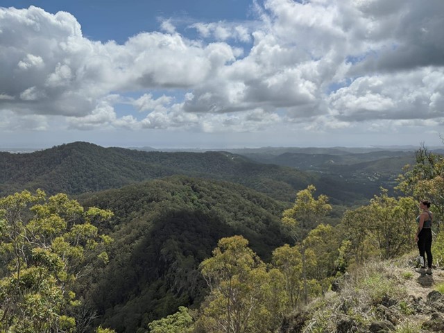
Rainforest Circuit
(113 ticks) -
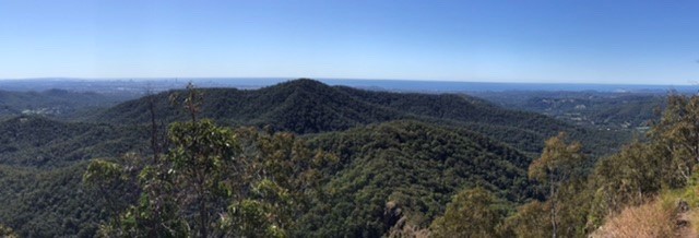
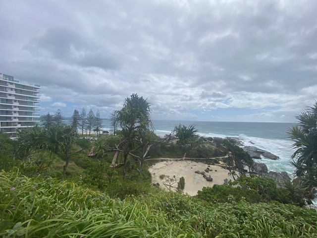
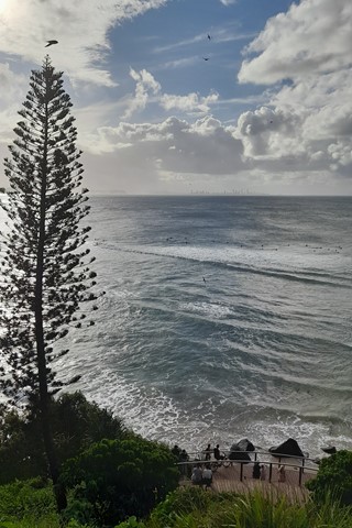
Oceanview Walk
(104 ticks) -
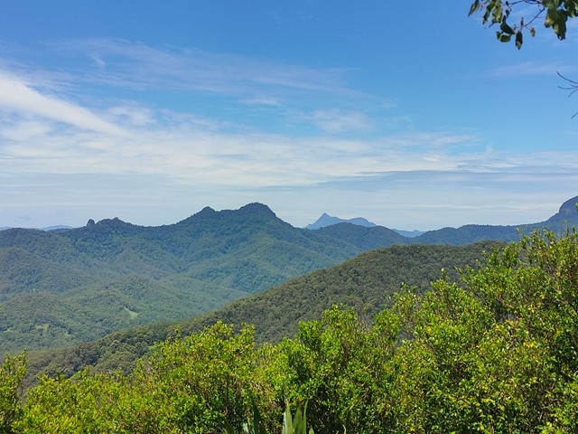
Bally Mountain
(75 ticks) -
Federation Walk
(49 ticks) -
Tallebudgera Creek Circuit
(43 ticks)
Parent Regions
Summary
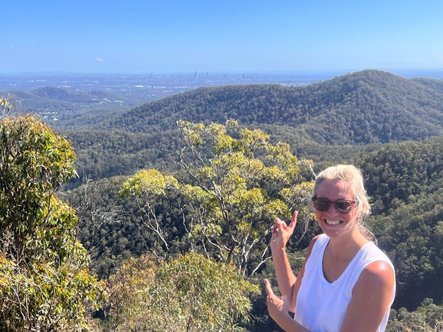
The tourism capital of Australia. Although visitors may know the Gold Coast for its beaches and theme parks, locals are known to have an active lifestyle so the council has provided plenty of accessible parks and the GC hinterland also isn't too bad either.
Popular Walks
-
Rainforest Circuit
(113 ticks) -
Oceanview Walk
(104 ticks) -
Bally Mountain
(75 ticks) -
Federation Walk
(49 ticks) -
Tallebudgera Creek Circuit
(43 ticks)
Parent Regions
History
The GC used to be a swamp filled with mangroves till all the residential buildings popped up.
Features
What are the standout bushwalking features?
Access
Just 1 hour south of Brisbane or catch a flight to Coolangatta in which case you'll have arrived at the most southern part of the GC.
Maps
Which maps cover the region?
Accommodation
Camping
Other
As the Gold Coast thrives off tourism there are plenty of accomodation options available.
Contact details
City of Gold Coast: https://www.goldcoast.qld.gov.au/Home
City of Gold Coast Park Finder: https://www.goldcoast.qld.gov.au/Things-to-do/Parks-gardens-reserves/Park-Finder
or CoGC Walks-trails: https://www.goldcoast.qld.gov.au/Things-to-do/Walks-trails
Walks in Gold Coast

 1
km
return
1
km
return
 15
mins
15
mins
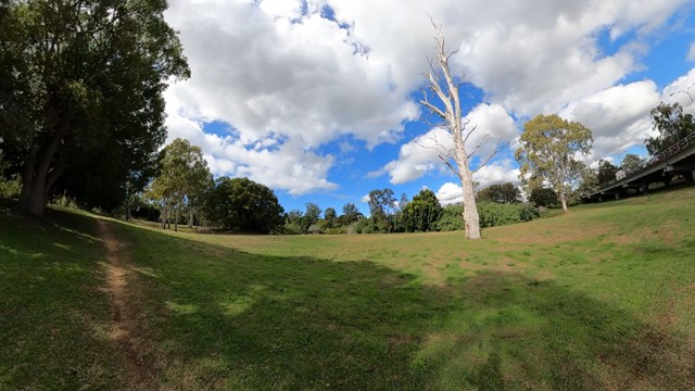
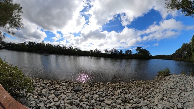
Arthur Earle park walk (Nerang River)
Short smooth walk along the Nerang river to a fishing platform

 4.15
km
return
1
hr
4.15
km
return
1
hr
Boat Harbour, Point Danger and North Tweed Circuit
This return walk travels through the Rainbow Bay, Point Danger, the QLD/NSW border and Duranbah Beach (North Tweed). The entire circuit is paved.
 250
m
return
20
mins
250
m
return
20
mins
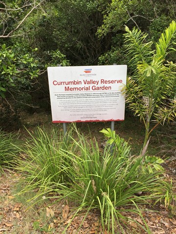
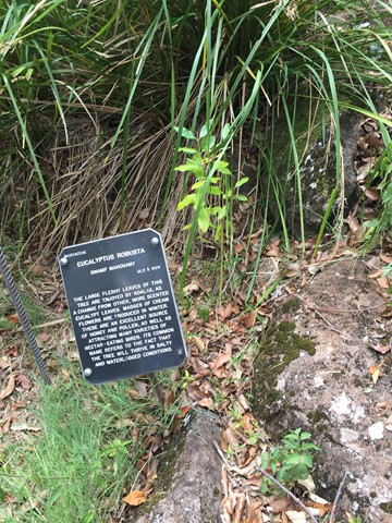
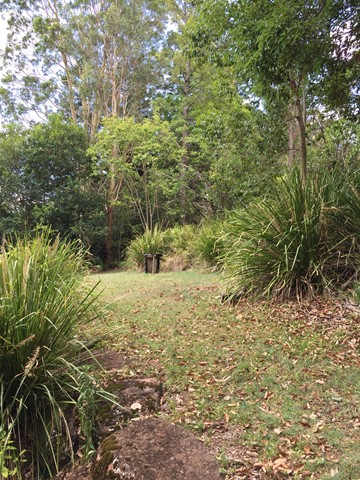
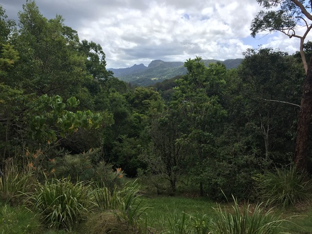
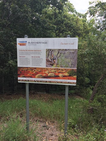
Currumbin Valley Reserve
A short amble around the Bush Heritage Australia property the Currumbin Valley Reserve previously known as the Griffiths Nature Refuge. The reserve is also home to a memorial garden which serves as the final resting place for people's ashes. The reserve has some informative signage on native trees and provides views of and access to the adjacent Nicoll Scrub National Park.
 3
km
return
45
mins
3
km
return
45
mins
Elanora Wetlands
Elanora Wetlands Habitat is a Gold Coast City Council (GCCC) reserve in the upstream estuarine reaches of Tallebudgera Creek. Adjacent to tidal wetlands, a scenic walking track follows the perimeter of the Water Quality Control Centre (WQCC). There are excellent views of mangroves and saltmarsh vegetation along the track where they form a thin fringe along the creek.
5
km
return
1
hr
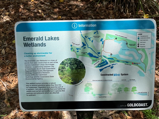
Emerald Lakes Wetlands Walk
Walk around the main lake through wetland and along built up area. Water views.
 900
m
return
20
mins
900
m
return
20
mins
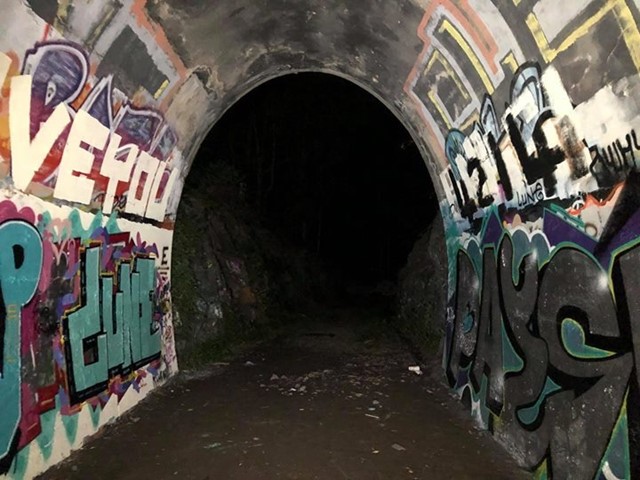
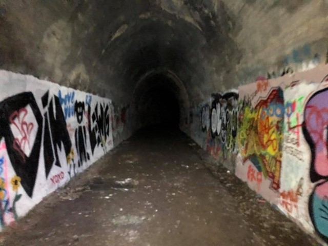
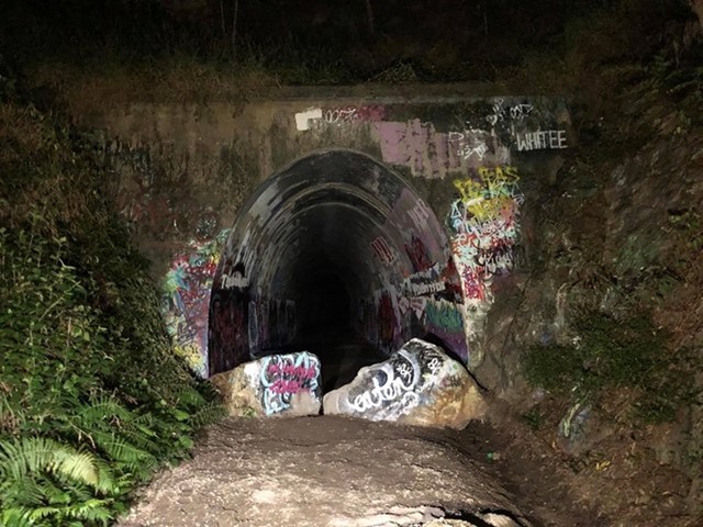
Ernest Junction Tunnel
This track follows the remnants of the South Coast Railway. With a short trail walk to the tunnel.
 6
km
2
hrs
6
km
2
hrs
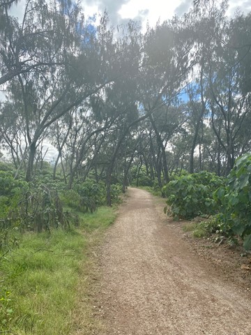
Federation Walk
This is an easy 3km walk (6km if you go to the end and back) along a well made path through the sand dunes of The Spit. It's perhaps the closest walk to Surfers Paradise and provides a unique insight into the coastal dune network.
The walk starts at the beach carpark on the opposite side of the road from the entrance to Sea World (you'll need to go around the roundabout to get to...
 36
km
one-way
12
hrs
36
km
one-way
12
hrs
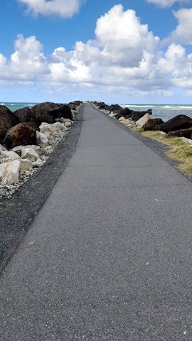
Gold Coast Ocean Way
Shared path along the beach from Point Danger to The Gold Coast Seaway or reverse. Can easily be done in stages.