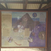
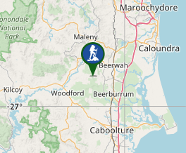
Just a short stroll with glimpses of Mount Beerwah on your left. this track ended with no signage although we continued walking along the fire trail until we came out at a main fire trail near the power lines possibly called Connection Road. The extra walk would be aprox 1.5-2km each way which made the total walk about 1hr.
Getting there
From the carpark head down through the gates. You will get to a BBQ area with toilet facilities. Take the track at the top of the park
Maps
Which maps cover the area?
Route/Trail notes
Some nice views of Beerwah from the back. A few slippery bog holes to walk aroundif you continue along the fire trail.
Permits/Costs
Nil
Other References
GPS Tracks
- No GPS available for this walk yet.


 1.3
1.3 30
30
Comments