Mt. Mathieson Circuit

Main Range National Park

This track was built by volunteers in 1986 from the National Parks Assoc of Qld. The mountain is named after the chief commissioner of railways from 1880s to 1912

Lookouts
Scrambling or Climbing
No Dogs Permitted
Rainforest
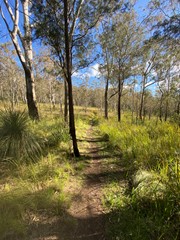
Eucalypt Forest
836m
Maximum Elevation
489m
Total Climb

Getting there

From Brisbane follow the Cunningham Highway through Aratula towards Cunninghams Gap. 5.4km after Aratula turn left onto Lake Moogerah Rd (signposted Lake Moogerah and Spicers Peak). 5.8km later turn right onto Spicers Gap Rd. Follow this road another 6.5km into the National Park and park on the left at the Pioneer Graves Picnic Area, just past the campground.

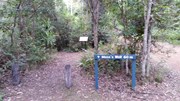
From the Pioneer graves carpark go towards the Mango orchard and where the Spicers gravel road starts to go up. there are signs on the right to the beginning of the track.

Maps

Main Range

Route/Trail notes

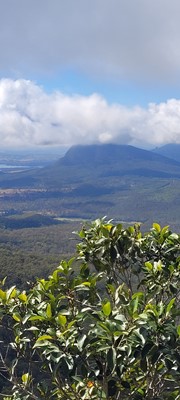
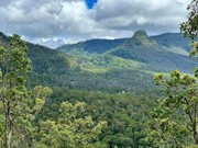
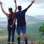
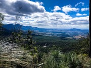
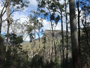
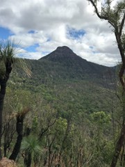
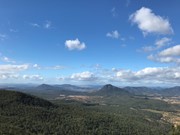
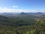
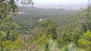
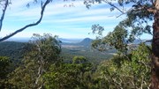
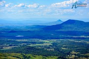
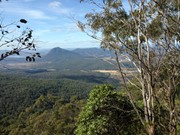
This is a must-do walk, fantastic views of Mt. Cordeaux and Mitchell and when at the governors chair the views are endless. The track is well marked and starts next to the orchard on the opposite side of the road to the car park.

I would start from the track entrance then walk to the top of Mt. Mathieson. While walking across the top towards Spicers gap be careful of several large rock falls then traverse an break in the canopy across

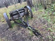
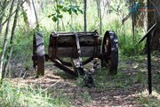
 to an old timber jinker. From here keep following the track to the carpark then turn left and follow the historic road to the Governors Chair. Make sure to make the short detour to the amazing Governors Chair lookout.

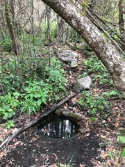
After finishing at the lookout return to the road and follow it for the final leg downhill through bell birds and whip birds to Moss's Well (a 60m side track) and then continuing back to the campgrounds.

The gravel road is extremely difficult after rain so wait a few days after rain before driving on this gravel road. 4 wheel drive vehicles will have no problem on this road.

There are toilets and non-potable water there. If you have some type of water filtration you could have an extended stay at the campgrounds.

Permits/Costs

Only if you are camping there is a self registration site.

Other References

Call local NPWS Main Range

GPS Tracks

Comments

300m from the beginning the track acts like a dam and the whole track becomes totally submerged and can be deep in places. Tie plactic bags around your shoes to give some form of protection then as fast and as carful as you can go through this section of track before water enters plastic bags around your shoes.
Since the rain there has been an explosion of lantana, wait-a-whiles and other bushes with spines to make your life difficult with scratches and stinging. Keep going, it is well worth the effort.
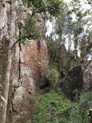
There are many fallen branches across the track all the way along to the top of Mt. Mathieson and from the top of Mt. Mathieson take extreme care along the rocky sections. There are huge landslides and rock falls.
To overcome these rocks just keep heading in the general direction of where the track would be and you'll come across the track again then the track starts to go steeply uphill. Keep looking around and look forward and further along the track.
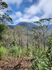
Doing this will help keep you on track. Once at the top of this rocky section you'll come along an orange marker nailed to a post. You are going in the right direction and about to enter the rainforest just keep going along a gentle left curve.
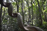
The rainforest section has many vines and trees across the track but you can still keep going. once out of the rainforest it opens up to a large grassed area 'paddock' while i was walking along i scared a black snake (and myself we both went racing off in different directions!!!) not long and you come acroos the timber jinker.
Just stand there a moment and imagine what it would have been like to transport these huge logs down spicers road. Back then they were built of tuffer stuff. After winding you way along you come to the end of the walk. A carpark/ rest area is there a good time to take a break before continuing on.
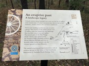
Next is the old spicers road approx 1.6km so many interesting signs along this road. It is one of the last examples of 19th century road building techniques in queensland. I came across a carpet snake at the third sign in.
Relief again when you make it to Spicers Gap, this can be used as a campground if you are wanting to get some early morning photos from govenors chair. Walk to this fantastic lookout and soak in the view. Don't forget to take some photos.
Then when you are ready head down spicers road until moss's well. Take the time to stop in it's only 60m then continue down through bellbirds and whipbirds who needs music when these birds sound so amazing. After some time the campground comes back into sight.

Boris Zoubakin on 21 Feb, 2010

A good walk that was a bit muddy and overgrown. a lot of history in this area and defintely chilly! Some great views along the way.

Laurence Hallam on 26 Sep, 2009

Where

Click here to load this map.

Nearby Walks

Done this walk?

This walk has been ticked 110 times

Aussie Bushwalking can keep track of your bushwalks.

Login/signup to tick this walk off.

Tick walks to keep track of where you've been. You must Login to tick walks. Accounts are 100% free so sign up if you don't have one.