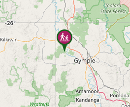
A looping walk up to the top of the ridge above the camp site, through the eucalypt forest and abundant grass trees, before returning downhill to Glastonbury Creek.
Getting there:
The Brooyar State Forest map page from the link below shows three access points. From the south turning off the Gympie Woolooga Road onto Diggins Road that becomes Greendale Road and signposted right into the Glastonbury Creek Camping Area, where there is ample parking.
From the north off the Wide Bay Highway onto Petersen Road or further along onto Reid Road, again signposted at the junctions.
All these roads are unsealed and can be driven by 2WD vehicles, but a 4WD is recommended.
Maps:
Route/Trail notes:
Behind the information board just inside the cattle grid into the campsite on the left, is a swing gate to start the walk. Follow the pathway, as it meanders uphill to the top of the ridge. Continue along the ridge to the power lines, where you go through the gate to your left and 50m further on pick up the track to your right. Continue downhill through the grass trees till you hit the 4WD track, where you turn right and follow this back to the bottom end of the campsite.
Permits/Costs:
None.
Other References/Comments:
Camping is available at Glastonbury Creek and can be booked from the Brooyar State Forest link above.


 330 Glastonbury Creek Loop (GPX)
 2.2
2.2 1
1
Comments