
Menu
Suggested searches
Your search found 2293 results...

 17.2
km
one-way
17.2
km
one-way
 7
hrs
7
hrs
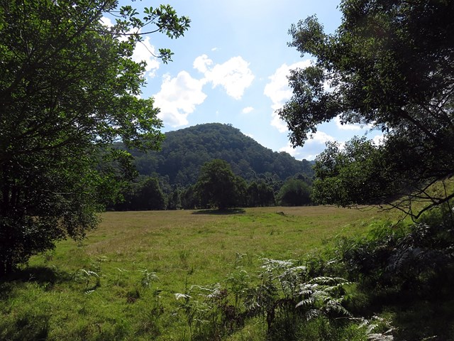
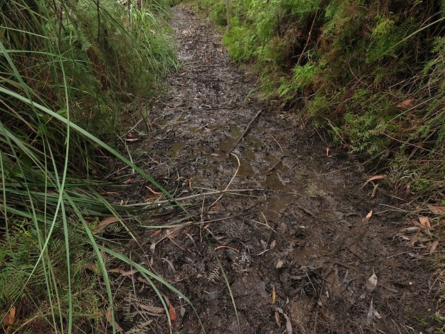
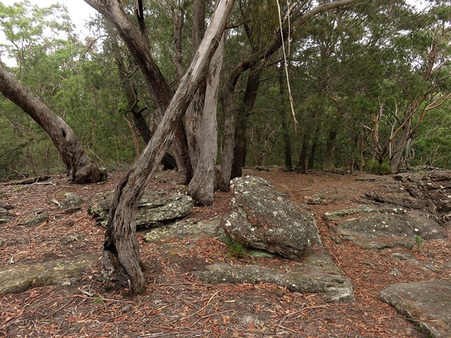
Congewai Valley Trackhead (East) to Watagan Headquarters (GNW)
New South Wales
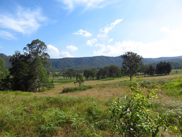
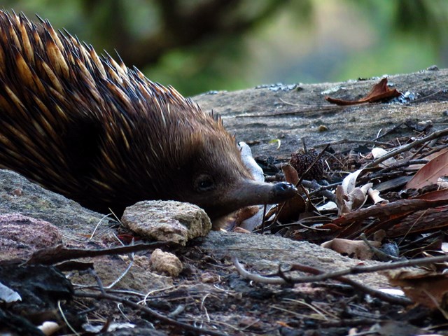
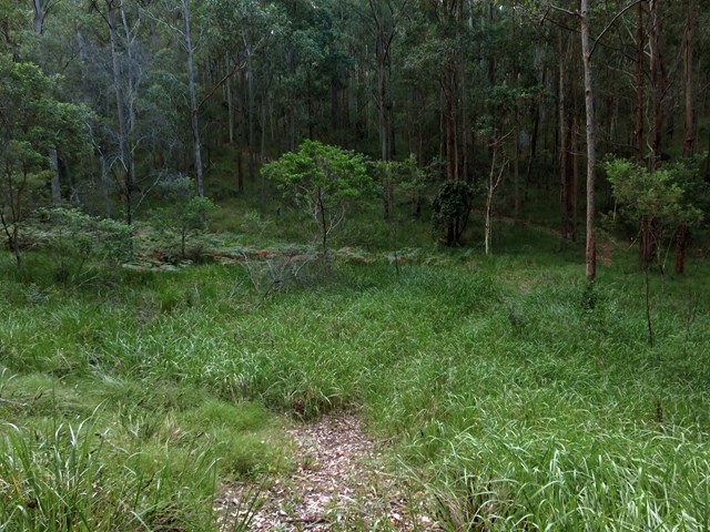
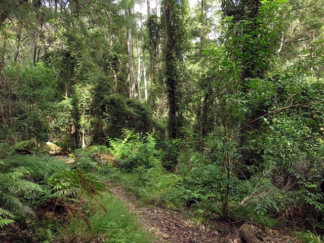
This full day walk starts from the Congewai valley trackhead (east) and follows the Great North Walk up into the Watagan National Park. Winding east along Georges road for the most part, this walk also passes many great lookouts and gives the option of a side trip down to the 125r lookout, which provides a great view to the south and nice spot for lunch. The walk finishes at the Watagan Headquarters campsite, which has a fire place and a picnic table.
 13.8
km
one-way
5
hrs
13.8
km
one-way
5
hrs
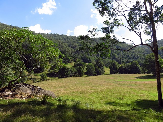
Flat Rock to Congewai Valley East Track Head (GNW)
New South Wales
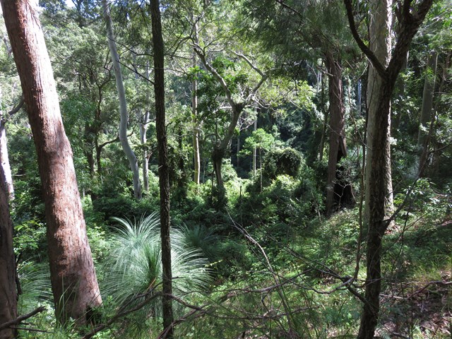
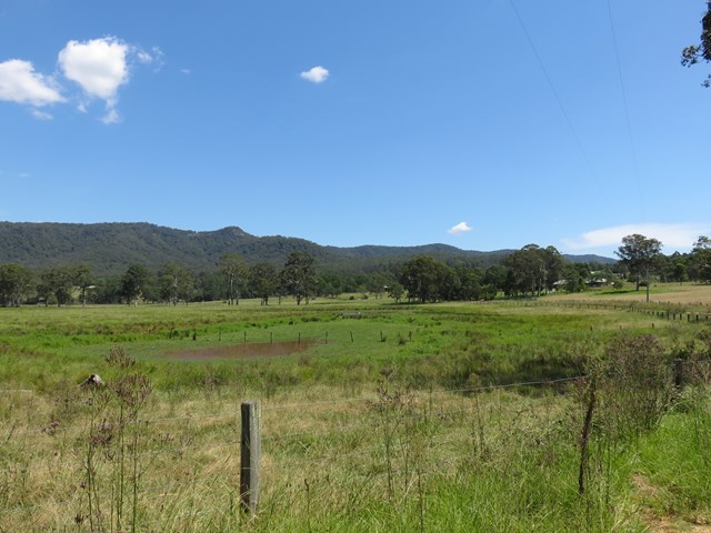
Starting from the grand views of Flat Rock Lookout high on the range, you will walk down into the Congewai Valley below. On the first section of this walk, you will explore a little used dirt road to the Congewai Communication Tower. From here you follow a series of tracks that wind down, steeply in places, through the tall open forest with a scattering of grass trees to the bottom of the range. Now the walk guides you through open farmland before following Congewai Road along main valley to the trackhead near Brown Muir Farm.
 4.1
km
one-way
2
hrs
4.1
km
one-way
2
hrs
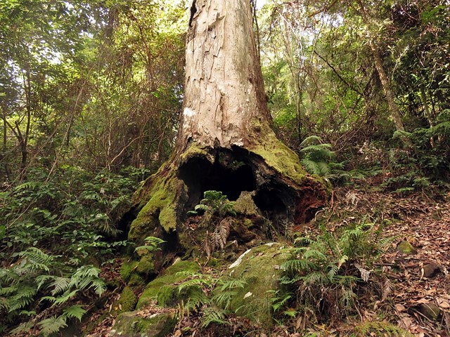
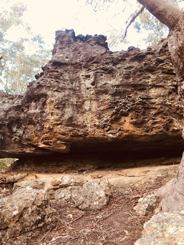
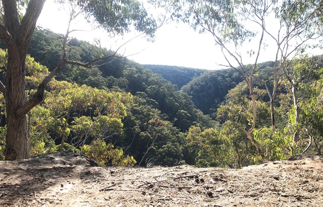
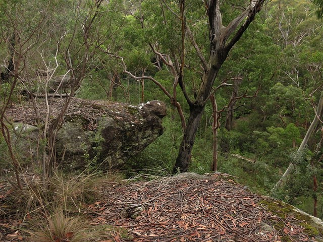
Watagan Creek Rd to Flat Rock (GNW)
New South Wales
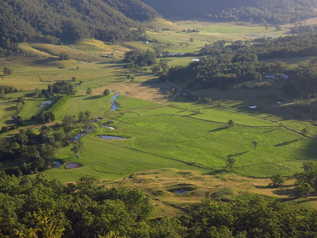
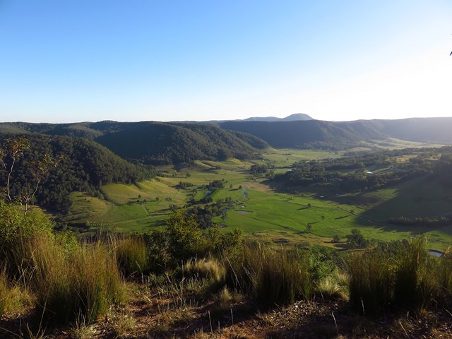
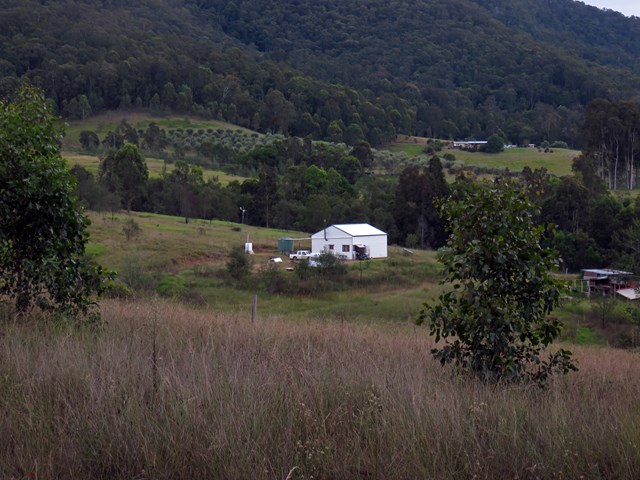
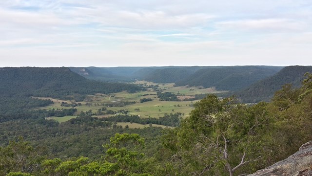
This walk starts on Watagan Creek Road and soon crosses the lovely Watagan Creek. From this point, the walk leaves the Watagan valley and climbs steeply up the bush track through forest. The walk then travels on dirt road, passing a campsite and rest area, before arriving soon afterwards at the unfenced Flat Rock Lookout. Flat Rock Lookout is a natural rock platform that offers magnificent views across the Congewai Valley to the east and north. An enjoyable walk, offering pleasant walking through forest and an outstanding viewpoint.
 9.7
km
one-way
4.5
hrs
9.7
km
one-way
4.5
hrs
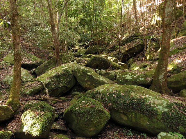
Cedar Brush to Basin Campsite (GNW)
New South Wales
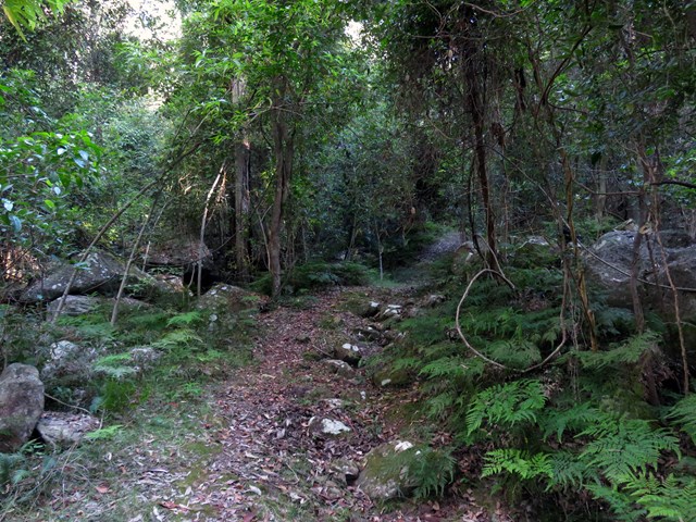
This section of the Great North Walk makes a good walk to a comfortable campsite, with the section along the Lyrebird Trail by the Wollombi Brook being particularly recommended. From the Cedar Brush track head, the walk winds up into the Olney State Forest through bushland (crossing over two moist gullies). Once most of your height is gained, this walk follows unsealed road before dropping down into the Wollombi Brook gully. From here, the walk follows bush tracks along Lyrebird Trail and to the Basin Campsite
 2.5
km
return
30
mins
2.5
km
return
30
mins
Wild May Lagoon Trail
Karawatha Forest
A short walk in Karawatha Forest which follows a fire trail and passes some lagoons.
Picnic tables at taps at start of trail
2
km
return
1
hr
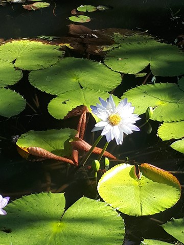
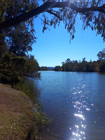
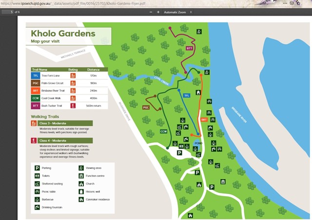
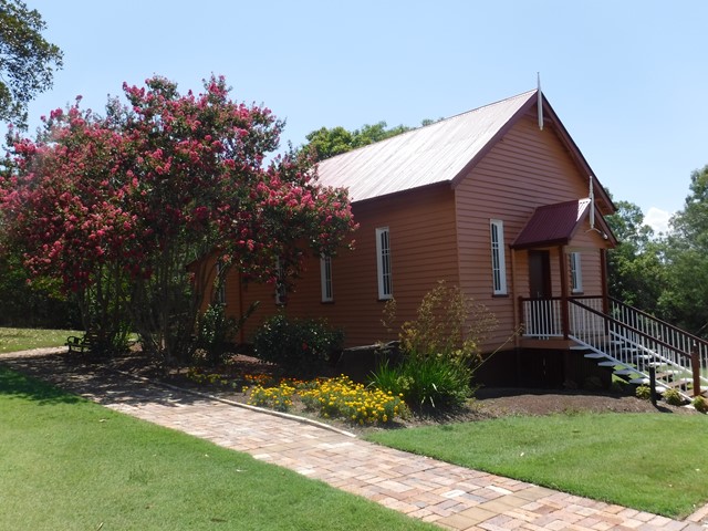
Kholo Gardens (Multiple Tracks)
Ipswich
A picturesque retreat into nature seven kilometres from the Ipswich Central Business District is the peaceful Kholo Gardens at Pine Mountain. It’s an unexpected delight to explore with its lush gardens, crystal clear lily pond, bush walks and open spaces. Giant Kauri trees and Hoop Pines planted by early settlers, rare birds and plants, and the nearby Brisbane River all make this a special place to spend some time. It’s also a sacred site for the indigenous Jagera, Yuggera and Ugarapul People.
At this subtropical haven, you can enjoy the peace and quiet of the 400 metre walk through Tree Fern Lane under a natural rainforest canopy. The more energetic can try the steeper 800 metre Coal Creek Walk – aptly named seeing as the earliest recordings of coal in the area were made here in 1825.
Formerly the site of a water pumping station, Kholo Gardens has an historic well onsite as well as a charming little old church, relocated here in 1990 from Redbank. With that and a stunningly restored Queenslander nearby, you can see why this is a popular venue for weddings and other functions. There are also barbecues, picnic tables and public toilets.
 16
km
return
6
hrs
16
km
return
6
hrs
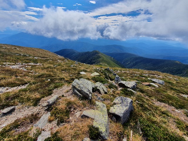
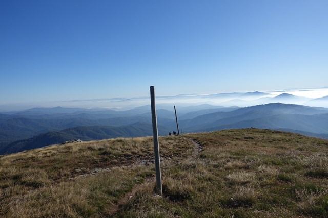
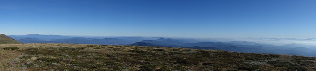
Mt Bogong via Staircase Spur Track
Alpine National Park
Mount Bogong (1986m) is the highest mountain in Victoria and provides a challenge to ascend but is worth every drop of perspiration to get those forever views.
 5.3
km
return
2.25
hrs
5.3
km
return
2.25
hrs
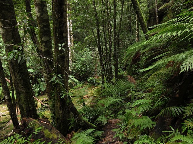
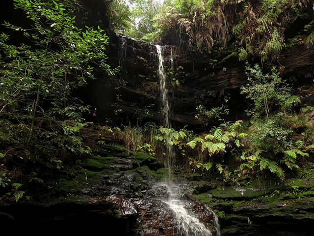
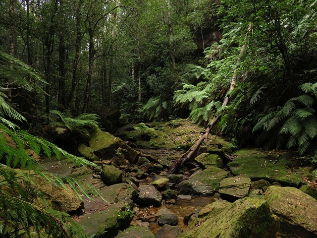
Empire Pass Circuit
New South Wales
The Empire Pass Track was constructed in the early 1900s, and improved and opened on Empire Day, 1913, hence the name. It passes through a beautiful gully of temperate rainforest and visits several delightful waterfalls in the North Lawson area.
The walk can be done all year round but is good in the warmer months as much of the track is in the shade of the gullies.
 2.2
km
return
1
hr
2.2
km
return
1
hr
Echo Point (Lawson / Hazelbrook)
New South Wales
A short and easy walk to Echo Point (not to be confused with the one in Katoomba).
 2
km
return
45
mins
2
km
return
45
mins
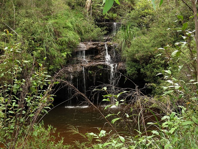
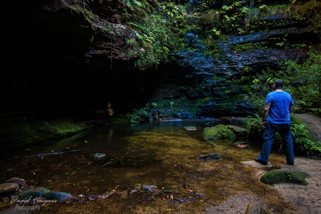
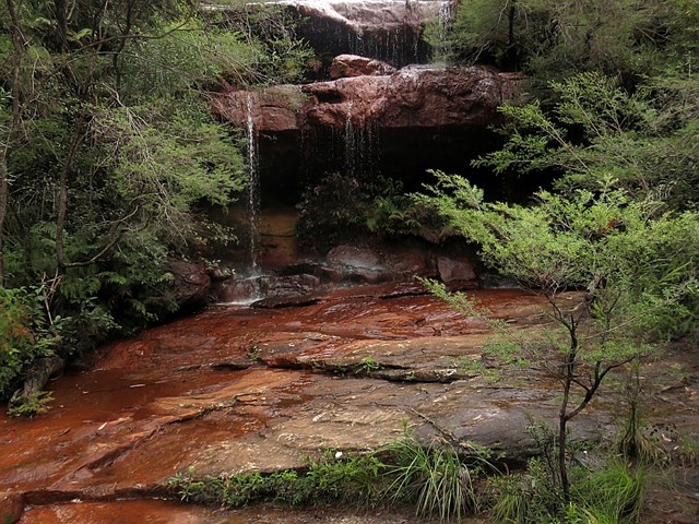
Fairy Falls and Dantes Glen
New South Wales
A short walk with three waterfalls: Dantes Glen, St Michaels Falls and Fairy Falls.