
Menu
Suggested searches
Your search found 2293 results...

 15
km
return
15
km
return
 8
hrs
8
hrs
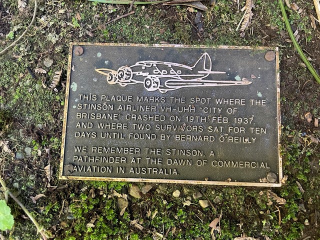
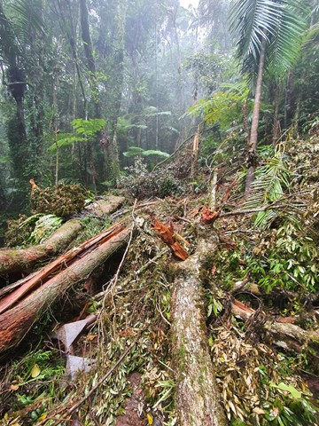
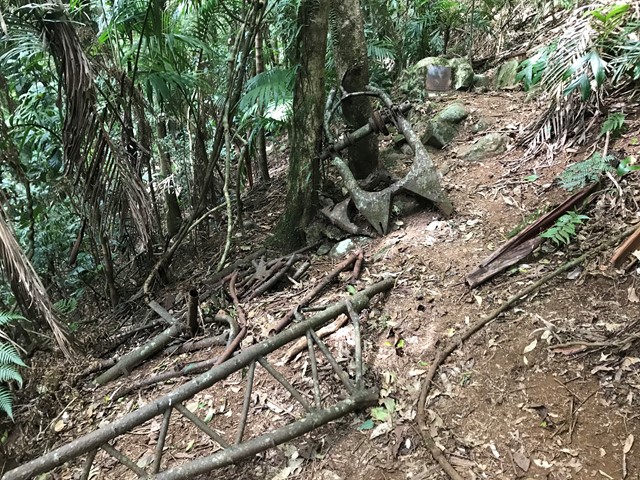
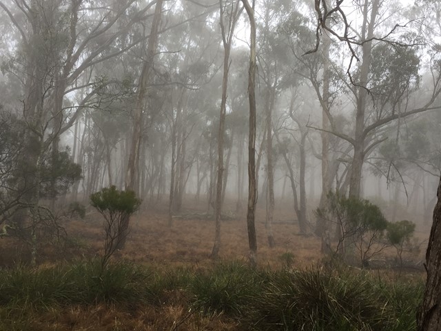
Stinson Crash Site from Christmas Creek
Lamington National Park
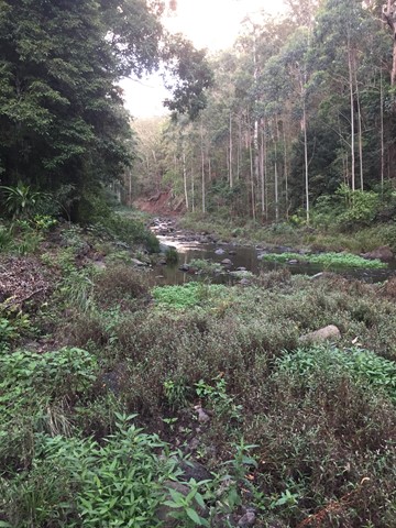
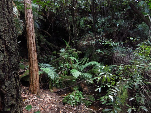
This walk takes you to the Stinson memorial crash site and the close-by Stinson remote bush camping site (no bush camping is allowed anywhere along the track, only with a permit in designated area). There is not much of the Stinson wreck left so I'd recommend doing this one sooner rather than later before it all goes under, there has been some serious treefall and landslide in the area in late 2020 and early 2021 due to heavy rains. The memorial area contains some plaques dedicated to those who lost their lives in the crash.
Aside from the wreck it is a lovely hike with diverse forest, land features and some easy unexposed rock scrambling/climbing although this could probably be avoided. There's even a bit of vine swinging to be done on the way back down if you're game.
It is a hard walk in rough terrain. The initial climb is very steep and fitness is key to completing the track in a decent time. It diverges off Westray's Grave track, just before reaching the grave, seeing the grave on the same walk is recommended (https://www.aussiebushwalking.com/qld/se-qld/lamington-np/westray-s-grave-from-christmas-creek).
 7
km
return
2
hrs
7
km
return
2
hrs
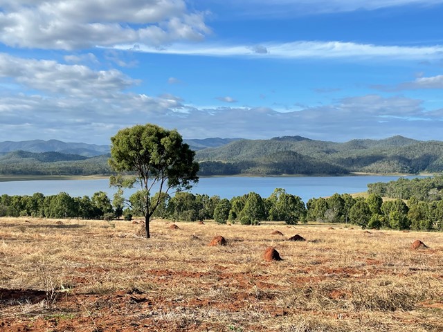
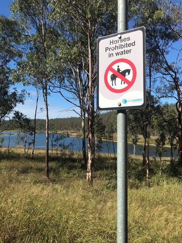
Pine Hill
South East Queensland
An easy walk through the bushland around the southern end of Lake Wivenhoe to the high point on Pine Hill. The eucalyptus trees look very young, so I can only suppose that this will get better with age.
 1.7
km
return
1
hr
1.7
km
return
1
hr
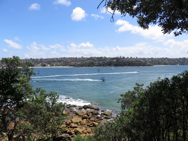
Grotto Point Lighthouse
Greater Sydney
This is an excellent walk with some very scenic views. The walk travels along a well used track through the thick coastal bush. The views are capped off by the vista over Sydney Harbour from the Grotto Point Lighthouse. Easy parking, a few good side trips, and in particular, the Aboriginal Engravings, make this walk all the more appealing.
 5.6
km
one-way
2
hrs
5.6
km
one-way
2
hrs
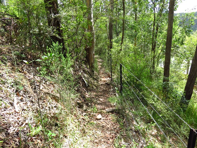
Greta Rd to Yarramalong (GNW)
New South Wales
This section of the Great North Walk explores a section of the historic Bumble Hill Dray track. You will walk along the edge of ridge mostly through an open dry eucalypt forests and occasionally through moist ferny gullies as well as alongside the base of a tall rock wall. Bumble Hill Dray track was cut during the mid 1800’s to allow teams of bullocks to haul felled cedar to Mangrove Creek, where a barge would take it to Sydney. The oxen are now long gone, but this is a great way to lead into the small Yarramalong township.
 11
km
one-way
3.5
hrs
11
km
one-way
3.5
hrs
Yarramalong to Cedar Brush (GNW)
New South Wales
Starting at the quaint Yarramalong township, this walk follows a couple of rural roads to the Cedar Brush Trackhead. This is the longest road stretch on the Great North Walk. Some people see this is a road slog and either grab a lift or power walk it, others see it as an opportunity to stroll through the country side. However you choose to undertake this section of the walk I encourage you to enjoy the valley views and soak up the vibe on the semi secluded rural valley community.
 2.5
km
return
45
mins
2.5
km
return
45
mins
Melichrus Trail (Plunkett Conservation Park)
South East Queensland
A short walk on relatively flat gradients through open forest with a mixture of swamp box, ironbark and spotted gum. The unusual soil type in this area promotes short grasses and sedge's that give a parkland type appearance. Keep an eye out for the plant Melichrus adpressus, a spiky native heath species that grows in the local area. This area is known for a good diversity of bird species best heard or seen early morning or late afternoon.
 5
km
return
110
mins
5
km
return
110
mins
Chandler View Circuit
Oxley Wild Rivers National Park
A walk through the Long Point section of Oxley Wild Rivers National Park
including a lookout over the Chandler River.
 4.5
km
return
90
mins
4.5
km
return
90
mins
Thompson River Floodplain Walk
Central Queensland
This walk in Longreach is from town to the Thompson River through the floodplain along a disused road. The end of the walk is then along a current road and takes you to the Thomson River. Return via the same path.
2.5
km
return
1
hr
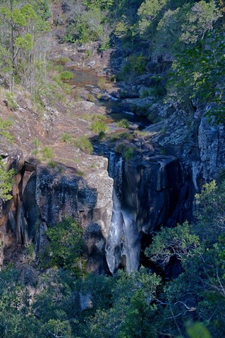
Denham Falls walk
South East Queensland
This walk leads to a viewpoint above Lip Falls and the swimming hole below it in the Denham Scenic Reserve. Originally, now closed, one hour return walk through rainforest down to the Denham Falls and then to Lip Falls.
No longer can you get down to the falls but it’s still a nice easy walk.
Better to call it "Denham waterfall" walk.
 22
km
one-way
2
days
22
km
one-way
2
days
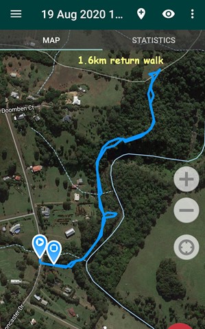
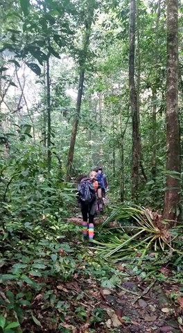
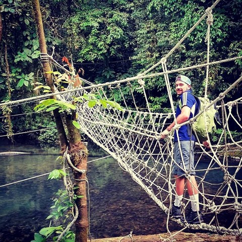
Headhunters Trail
Malaysia
The headhunters trail through Borneo is there for anyone seeking a jungle adventure. Located in Mulu National park this walk takes you through some dense jungle along rivers, a secluded jungle camp, monkey bridges and there are plenty of leeches and sweating along the way.