
Menu

 6.1
km
return
6.1
km
return
 4
hrs
4
hrs
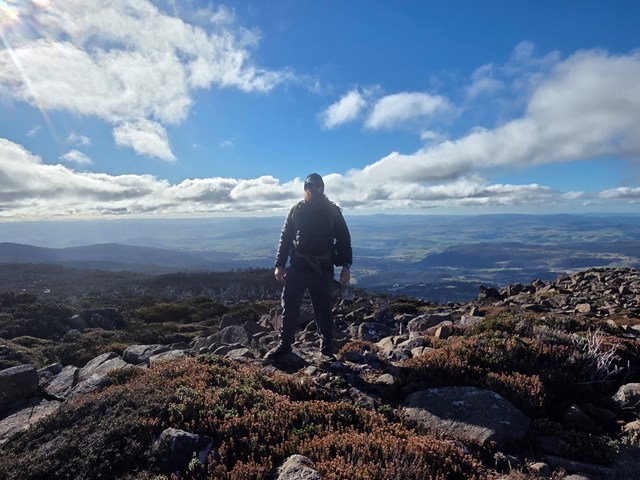
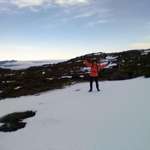
Mount Sprent
Starting on the dam wall above the Serpentine River you very steeply climb up towards the summit of Mount Sprent with amazing views.
 600
m
return
30
mins
600
m
return
30
mins
Wellesley Park Circuit
A short walk around this park in South Hobart. Wellesley Park plays host to some South Hobart FC trainings and games and offers views of Mount Wellington.
400
m
return
30
mins
Kangaroo Point Historic Site
A short walk exploring the historic Kangaroo Point Battery.
18.4
km
return
1
days
Mount Field West & Naturalist Peak
A long walk to the heighest peak in Mount Field National Park. The hut at K Col has some good history and theres also the chance to go slightly off the main trail to summit the Rodway Range and Naturalist Peak.
1.4
km
return
45
mins
Russell Falls Loop
The short loop walk to the base of Russell Falls. At night you can spot glow worms.
11.1
km
return
4
hrs
Mount Field East via Seagers Lookout & Beatties Tarn
A lovely loop taking in the major features of the east side of the plateau.
 27
km
return
11
hrs
27
km
return
11
hrs
Mount Field West via Newdgate Pass
A full-day hike (loop) past the Mount Mawson Ski Field, the summit of Naturalist Peak and Mount Field West. Great variation of vegetation and scenery along the way.
6.3
km
return
3
hrs
West Tower Hill
Follow a 4wd trail down to the saddle then pick up single track up to the far side of West Tower Hill where you contour all the way up to the summit.
 3.8
km
return
90
mins
3.8
km
return
90
mins
Legges Tor & Giblin Peak Loop
A short loop in Ben Lomond National Park to the state's 2nd heighest point.
13
km
return
3
hrs
Legges Tor
Rough yet relatively easy hike to the summit of Legges Tor from Car Vila. This is rocky, boulder terrain so do wear appropriate footwear !!!!
 2.7
km
return
1
hr
2.7
km
return
1
hr
Ralphs Falls & Cashs Gorge Circuit
A nice circuit linking Ralphs Falls Lookout and Cashs Gorge Lookout.
5.1
km
return
2
hrs
Cube Rock via Little Blue Lake
A walk in Cameron Regional Reserve that starts at the bright blue mining leftovers of Little Blue Lake to Cube Rock.
3.9
km
return
2
hrs
Mount Direction Track
A nice walk to the summit of Mount Direction where there is a historic signal station.
1.3
km
return
45
mins
White Knights Walk
A walk in Evercreech Regional Reserve to see some of the tallest white gums in the world.