
Menu
Popular Walks
-
Mt Ngungun
(1120 ticks) -
Mount Coolum
(849 ticks) -
Mt Cordeaux
(646 ticks) -
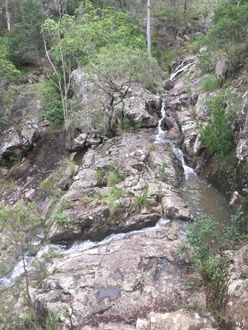
Twin Falls Circuit
(614 ticks) -
Purling Brook Falls Circuit
(593 ticks)
Summary
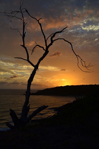
The Sunshine State
Queensland has a wealth of bushwalking opportunities including multiple World Heritage Listed rainforests such as the Daintree and Lamington National Park, great coastal and island parks like Fraser Island and Hinchinbrook Island.
Popular Walks
-
Mt Ngungun
(1120 ticks) -
Mount Coolum
(849 ticks) -
Mt Cordeaux
(646 ticks) -
Twin Falls Circuit
(614 ticks) -
Purling Brook Falls Circuit
(593 ticks)
Sub-Regions
Other Information
World Heritage Areas
- Fraser Island
- Gondwana Rainforests of Australia (Lamington NP, Springbrook NP, Mount Chinghee NP, Mount Barney NP, Main Range NP)
- Great Barrier Reef
- Riversleigh
- Wet Tropics (Daintree NP, Barron Gorge NP, Cedar Bay NP, Girringun NP, Wooroonooran NP)
Contact details
Queensland Parks and Forest:
https://parks.des.qld.gov.au/
Regions
The link below provides a region map of QLD as a reference to what council zones are included in the 7 geographic regions of QLD.
https://en.wikipedia.org/wiki/Regions_of_Queensland#/media/File:Qld-regions-map.gif
- Far North Queensland
- North Queesnland
- Central Queensland
- Mackay, Isaac and Whitsunday
- Wide Bay Burnett
- Darling Downs South West
- South East Queensland

 2.6
km
one-way
2.6
km
one-way
 40
mins
40
mins
Mahogany Trail
An alternate track to the Summit Trail at Mt Cootha Brisbane that is shared with bikes and horse riders
 5.3
km
return
75
mins
5.3
km
return
75
mins
Mt. Coot-tha Summit Track
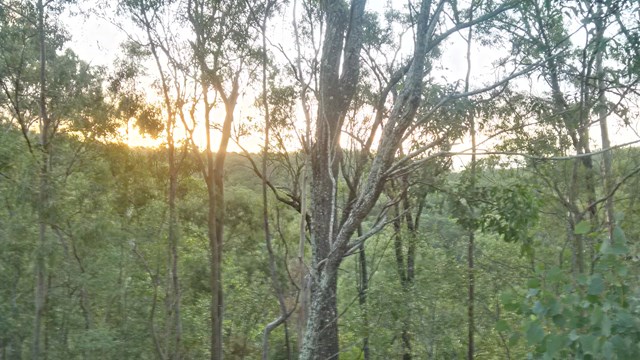
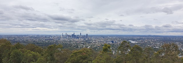
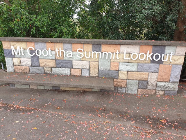
Mt Coot-tha Lookout has sweeping views of Brisbane City, Moreton Bay, and around to the Tweed Volcano, Main Range and Mount Barney and Flinders Peak. The walk to this lookout, from JC Slaughter Falls Picnic Area, is a potentially slightly testing but generally easy walk on a paved track that straddles a gully.
 5.6
km
return
90
mins
5.6
km
return
90
mins
Powerful Owl Trail
Start from either channel 9 or Silky Oaks picnic area. Well frequented wide trail.
 1.3
km
return
40
mins
1.3
km
return
40
mins
Simpson Falls Track
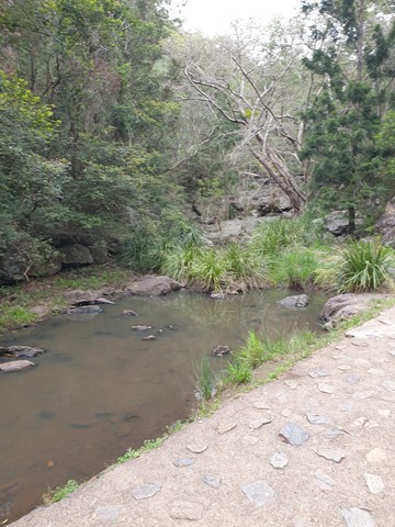
This track begins at Simpson Falls picnic area. It is excellent for wildflower viewing in late winter and spring when the golden wattles and purple hoveas of the open forest understorey burst into bloom. Walkers may catch a glimpse of the city from the Simpson Falls viewing deck.
 4
km
90
mins
4
km
90
mins
Simpsons Falls and Eugenia Circuit
This track begins at Simpson Falls Picnic Area. It is excellent for wildflower viewing in late winter and spring when the golden wattles and purple hoveas of the open forest understorey burst into bloom. Links with the Eugenia Circuit
 2.5
km
return
1
hr
2.5
km
return
1
hr
Themeda Track
A great starter walk for those looking to get into hiking. About 2.5kms in length.
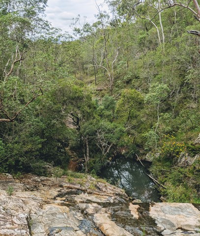
Walks in Central Queensland
2.3
km
return
90
mins
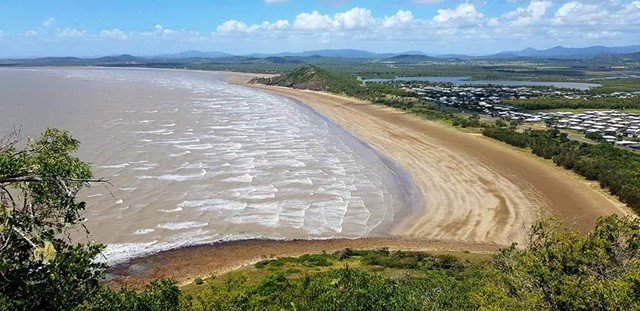
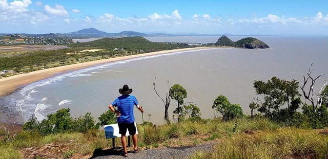
Bluff Point Walking Track
Good enjoyable walk, I'd say it a medium difficulty level for beginners. Use to run it everyday with incredible lookouts over to the islands and overall an enjoyable time.
 1.4
km
return
45
mins
1.4
km
return
45
mins
Bracken Fern Way
A short walk at the top of Mt Archer to a lookout over southern Rockhampton.
15
km
4
hrs
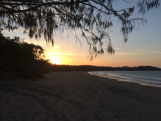
Curtis Island
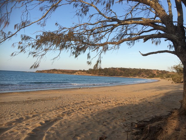
This walk takes you along the eastern coastline of Curtis Island, starting from South End. There are two established camp sites along the eastern coast (Turtle St - about 15km, and Joey Lees - about 29km), and another at the northern end (Yellow Patch). This is a fairly exposed walk, along the beach in some areas and along the top of the headland in others. It would be much too hot in summer. The views are pretty spectacular the whole way and it is not busy at all - we walked on a long weekend and met one group of 4WD'ers, and no other walkers. There are no facilities along the way- you will need to bring all of your own water.
 2.1
km
return
45
mins
2.1
km
return
45
mins
Discovery Trail
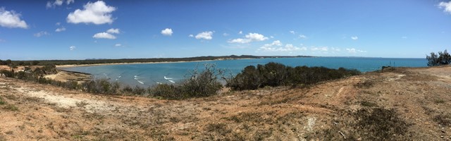
This circular walk around Agnes Water Headland, including its Lookout, provides great views north up Agnes Water Beach to 1770 Headland and to the south along Chinaman's Beach.