A short, shady walking trail through urban bushland. The dirt track is flat and well maintained but may be muddy after rain. This park is home to some interesting bird and plant life.
Officially listed as Grade 2/Easy, this track is suitable for walkers of all ages and fitness levels.
Getting there
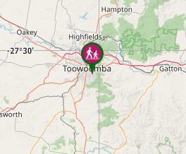
Located in Rangeville, this park has several trailheads for access by local residents. Best parking is at the end of Wirreanda Drive.
Maps
Which maps cover the area?
Route/Trail notes
From any trailhead, follow the loop path around the the park's edge. There is also a track cutting down the centre of bushland, giving you a shadier option out of view of houses.
Permits/Costs
Free
Other References
How can I find more info? Any guide books?
GPS Tracks
- No GPS available for this walk yet.


 1.2
1.2 30
30
Comments