Menu
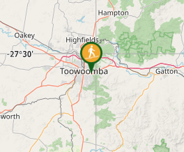
This walk zig-zags down the Toowoomba Range, starting from Lions Park (behind the rocket ship playground). It is well shaded for most of the way and provides an opportunity for birdwatching.
Officially listed as Grade 3/Medium (160m change in elevation over 2km), this track is suitable for walkers with a moderate fitness level.
Getting there:
Follow the signs to Picnic Point, on Tourist Road in Rangeville. Use the parking area in front of Lions Park (look for the rocket ship playground). The trailhead is below the playground.
Maps
Which maps cover the area?
Route/Trail notes
Locate the trailhead behind the playground. This is a dirt track that zig-zags gradually down the mountainside with shade cover most of the way along. There is a bench seat at the base of trail. Return by the same route, or you can extend the trail into a circuit by joining the Firetail Walk, Pardalote Walk, Fantail Walk and part of the Bridal Trail - this is called the Picnic Point Circuit and is 6430m long.
Permits/Costs
Do you need any permits? What's the cost?
Other References
How can I find more info? Any guide books?
GPS Tracks
- No GPS available for this walk yet.


 2.12
2.12 50
50
Comments