A short steep track through bush to a little creek and falls.
Getting there
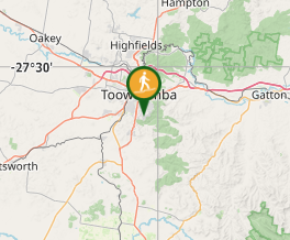
From Picnic Point follow Rowbotham St to its end at Middle Ridge and turn left into Zupps Rd then left into Dippel St following the sign to McStay St. The entry is an open field at the corner of Dippel and McStay.
Maps
Which maps cover the area?
Route/Trail notes
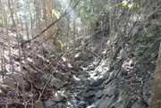
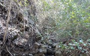
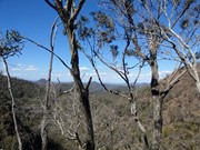
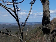
This little track is only one of several tracks in the area that have a few entry points so be clear what you're looking at on the map. (Be aware there is a NSW track called Hell Hole falls via Middle Ridge.) Most of the tracks seem to be wider and better maintained so you can take horse or bike but not this one. Start is easy through a field then you swing left at the end and start down the hill into the bush - track isn't always clear but I found pink markers on the trees showed the route. The track divides a little way down with the right branch leading out to a lovely view across the hills. Downhill branch is steep and I would say moderate except that it's pretty overgrown and in a couple of places eroded/loose dirt which makes it a scramble with help from some trees - take extra care if it's wet. The creek at the bottom is pretty though not always flowing, depending on recent rain it may just be small pools and no falls - still good for a climb up through/along the creek bed and there is some wildlife around. Take note of where you arrived at the creek so you know where to get back onto the track for return.
Permits/Costs
Do you need any permits? What's the cost?
Other References
https://www.alltrails.com/trail/australia/queensland/hell-hole-falls
GPS Tracks
- No GPS available for this walk yet.




 1.5
1.5 ??
??
Comments