An excellent walk on well made linked tracks to the top of Mt Rooper and Swamp Bay in the Conway National Park.
Getting there
From Airlie Beach drive along the Shute Harbour Rd toward Shute Harbour for approximately 8 km. Turn into the car park at the Conway National Park Swamp Bay and Mt Rooper sign.
Maps
Which maps cover the area?
Route/Trail notes
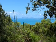
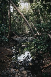
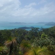
From the car park, a short 300 m walk takes you to the turn off to the track up to Mt Rooper. The 2.1 km walk is a steady climb to the top. The steaper sections have switch backs to lesson the grade. From the lookout the track continues and desends down Mt Rooper and links up to the Swamp Bay track. Distance to Swamp bay from the top is 3 km or 1.9 km from the car park.
Permits/Costs
Camping permit required for Swamp bay.
Other References
How can I find more info? Any guide books?
GPS Tracks
- No GPS available for this walk yet.











 7
7 2.3
2.3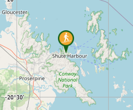
Comments