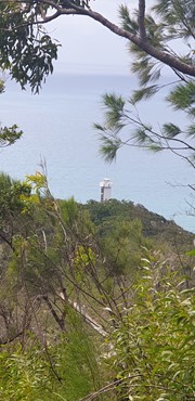
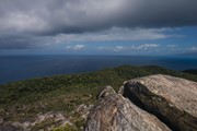
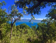
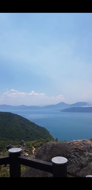
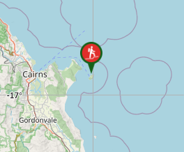
Track to the summit of Fitzroy Island with fantastic 360 degree views at the top. It’s a 3.6km return track (375m) and requires moderate level of fitness due to steepness. Track is located within Fitzroy Island National Park.

Lookouts
Coastal
Rainforest
269m
Total Climb

Getting there:

This is a 4 km return summit track located in the Fitzroy Island National Park which is a 45 minute boat ride from Cairns. It ascends to 269m and the summit can be reached from two different directions. You can take the track towards the lighthouse route and turn off towards the summit at 1.6 kms or commence the trail from the other side starting in the camping area. It can be walked in either direction.  

Route/Trail notes:

The track can be quite steep and rough in certain areas due to boulders but has fantastic views along the trail and 360 degree view of the island from the summit. The ascent and descent along the trail takes you through woodland before reaching the summit or camp grounds at the bottom. Allow 2.5 hours to complete. 

Other References:

http://www.fitzroyisland.com/explore-fitzroy/national-park-walks
https://parks.des.qld.gov.au/parks/fitzroy-island/about.html

GPS Tracks

  • No GPS available for this walk yet.

Comments

A very enjoyable walk in between snorkelling! This only took 40 minutes up, 30 mins down - and I did not go fast. So I would not rate this a "hard" walk. More moderate.
Beautiful scenery and views over the top of forest top on your way up/down. The view from the top is excellent too. Lots of cool lizards to see. Have fun!

TheImperialHiker on 2 Oct, 2022

We climbed up via the Lighthouse road. The 700 rock stairs up to the summit were a challenge for an old fellow. Great views and an easy stroll home. Took us 3 hours with a Lighthouse stop.

Gordy on 23 Jun, 2021

Omg loved! I had the track to myself and it was amazing!

Vic on 23 Jun, 2021

Visited Fitzroy Island from 23-26 July for Brynnes 30th Birthday. Completed tihis one Friday 24th with Brynne, David, Elisha, Adam, Alisha, Kevin and Kat on the way to the lighthouse track. Good cardio! Some of the group were hungover so did not appreciate that. Awesome view at the top!

Sarah on 24 Jul, 2020

A few small steps for a bloke and his wife on the 50th Anniversary of the Apollo 11 Moon landing. The according to the www the summit is 375m above sea level, so a bit more than the 269m stated. Advise taking the path to the right as you enter the campsite, rather than the concrete road on the far side. This way you get the hardest part of the hike out of the way first and can then enjoy a gentle stroll back to the bar!

Spidy on 22 Jul, 2019

Challenging walk in 40 degree heat but definitely worth it for it's amazing views along the trail and at the top of the summit. Steep in certain areas. Took 1.5 hours to complete at a moderate pace.

Srna on 27 Nov, 2018

Honey moon Island ;)

Chris Wilson on 1 Apr, 2017

Where

Click here to load this map.

Nearby Walks

Done this walk?

This walk has been ticked 27 times

Aussie Bushwalking can keep track of your bushwalks.

Login/signup to tick this walk off.

Tick walks to keep track of where you've been. You must Login to tick walks. Accounts are 100% free so sign up if you don't have one.