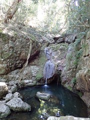
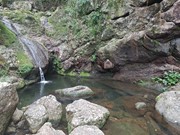
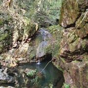
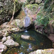
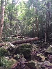
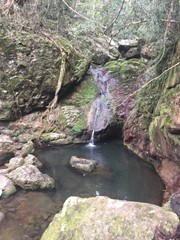
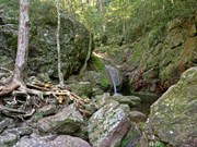
Follow the pleasant Skyring Creek up to the Cascades then up to Diamondfield and Happy Valley Lookouts.

Waterfalls
Lookouts
Bird Watching
Picnic Facilities
BBQ
Toilets
No Dogs Permitted
No Camping Permitted
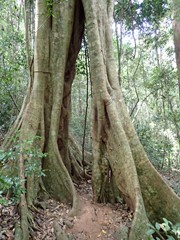
Rainforest
219m
Maximum Elevation
77m
Total Climb

Getting there:

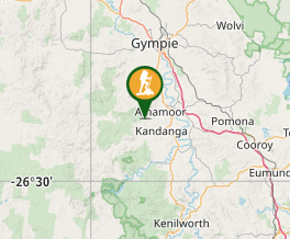
From Amamoor travel along Amamoor Creek Road towards Amamoor State Forest. Just inside the State Forest is the Amama Day Use Area on your left where you park. There is a second small car park 100m further along the road.

Maps:

Amamoor State Forest

Route/Trail notes:

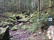
Walk up through that car park and across the road to join the main signposted path that takes you up to the Skyring Creek crossing. Cross the creek and follow the track up to the Cascades.

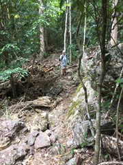
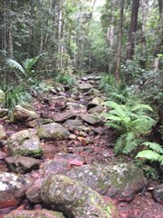
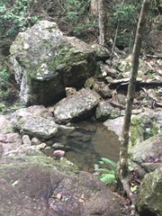
There are two options from here, either to rock hop up the creek and rejoin the track at the top or follow the pathway that criss-crosses the creek. This section is pretty rough going with boulders and tree routes to climb over and the track and steppingstones can be washed away when the creek floods.

After the final creek crossing the track rises steeply to the top of the ridge past Diamondfield Lookout where you turn left past Happy Valley Lookout before descending to cut the starting pathway where you turn right back to the start.

It is recommended to complete this walk anticlockwise. 

Permits/Costs:

None.

Other References/Comments:

Camping permit required if staying over at Cedar Grove or Amamoor Creek (fees apply).

There are numerous walks in the area including Cedar Grove Hiking Trail, Amamoor Creek Hiking Trail, Rainforest Walk and Amamoor State Forest Lookout (Fire Tower).

GPS Tracks

Comments

The track is fairly steep, and it is rocky, so care is required. The macadamias, the bunya pine and the creek are worth seeing. It is possible to scramble across rocks near the bottom of the tiny waterfall. But it is then hard yakka to get up the hill and onto the track which leans back down to the first creek crossing. Be warned by one who has undertaken this.

dennis round on 10 Sep, 2024

Early Sunday morning walk and there were plenty of people to talk to on the way around. Some of us rock hopped and scrambled up the creek which was great fun before the huff and puff of reaching the top of the ridge and then a welcome decent.

F.A.B. on 7 Aug, 2022

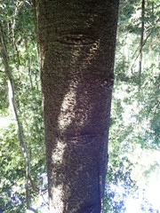
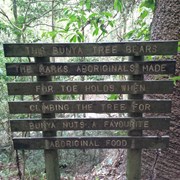
A good walk. Of interest are wild native macadamia trees and a bunya pine with climbing notches used by Aborigines to claim up and collect bunya nuts.

dennis round on 8 Sep, 2021

Beautiful rainforest walk.
60 mins

Ness on 22 Jul, 2021

Beautiful rock hop up the creek.

courtlalala on 9 Apr, 2021

Lovely walk good cardio workout. Good footwear recommended rocks on paths quiet slippery

Sky on 9 Mar, 2021

Really nice and easy walk.

Debbie on 7 Mar, 2021

Amazing small hike, lots of loose rocks but my clumsy self made it so you can too!.

Hen95 on 2 Aug, 2020

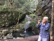
A beautiful walk that takes about an hour if you take your time or are slow on the hills. The cascades and rock pool is such a beautiful spot and the creek is beautiful.

Bobbe on 30 May, 2020

I did this walk with a friend and we both found it relatively easy. Some uphill walking and loose rocks underfoot, however it is not very long and has a nice small rock pool along the walk. You can make it a circuit walk by continuing past the waterhole and follow the track up to a lookout a bit further along the trail that has some views of the surrounding area. The trail eventually returns to the main track near where you begin the start of the walk.

Wayne's Walking Adventures on 1 May, 2020

Enjoyable walk. My kids always love the cascades.

JB on 11 Apr, 2020

Nice walk but not for the unfit. Lots of loose rocks on the trail. Take a walking stick to help.

Carl on 21 Feb, 2020

Easy walk, Id take care on the leaf litter if it’s been raining though.

Acasualhiker on 1 Nov, 2019

Lovely walk. Did this with my husband and 2 children (10 & 12) we all loved this walk

Shell on May, 2016

Nice easy walk , cascades not far on walk. Do wear decent footwear , rocks slippery.

J on 9 Aug, 2014

Good walk partially along the creek.

Note that in June 2014 the trail before the cascades is easily lost.
If you follow the creek up to the cascades (picture) look to the right and you should pick it up again.

NerdTrails on 22 Jul, 2014

Where

Click here to load this map.

Nearby Walks

Done this walk?

This walk has been ticked 36 times

Aussie Bushwalking can keep track of your bushwalks.

Login/signup to tick this walk off.

Tick walks to keep track of where you've been. You must Login to tick walks. Accounts are 100% free so sign up if you don't have one.