
Menu
Popular Walks
-
Mount Gravatt Summit Track
(104 ticks) -
Billai Dhagun Circuit
(91 ticks) -
Toohey Forest to Mt Gravatt
(86 ticks) -
The Cliffs Boardwalk
(63 ticks) -
Tinchi Tamba Wetlands
(62 ticks)
Parent Regions
Summary
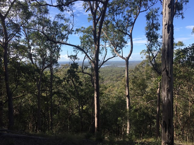
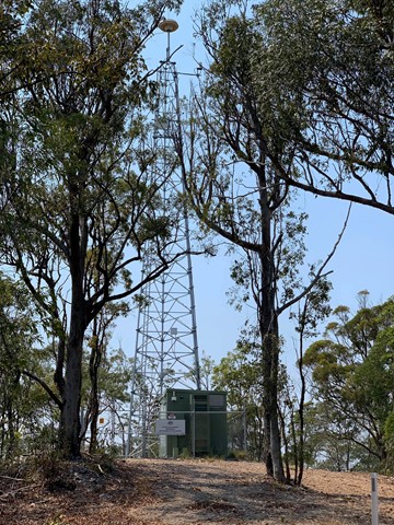
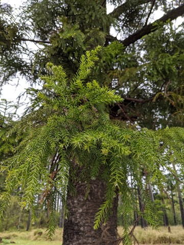
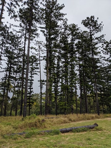
Toohey Forest walk to Mt. Gravatt mountain
Popular Walks
-
Mount Gravatt Summit Track
(104 ticks) -
Billai Dhagun Circuit
(91 ticks) -
Toohey Forest to Mt Gravatt
(86 ticks) -
The Cliffs Boardwalk
(63 ticks) -
Tinchi Tamba Wetlands
(62 ticks)
Parent Regions
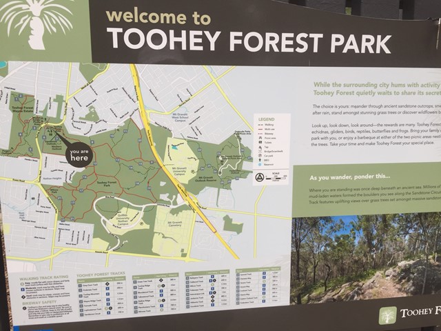
History
Features
Amazing rock formations, See what Brisbane bush originally looked liked.
Access
Park at Toohey Forest and many walks lead from there
Maps
Available from Brisbane City Council Website. Downloadable
Accommodation
Camping
No camping permitted in park
Other
Contact details
https://www.brisbane.qld.gov.au/things-to-see-and-do/outdoor-activities/walking-in-brisbane
Walks in Brisbane City Council Local Walks

 4.5
km
return
4.5
km
return

Mount Petrie
This walk is unfortunately inaccessible as it traverses the Belmont shooting complex.
 4.6
km
return
1
hr
4.6
km
return
1
hr
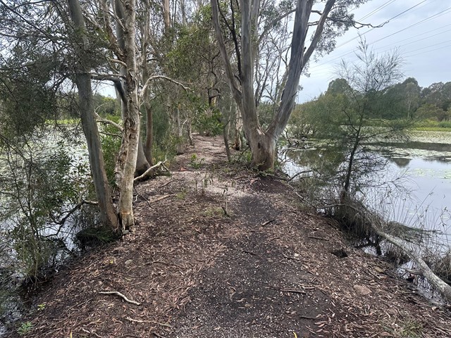
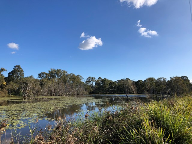
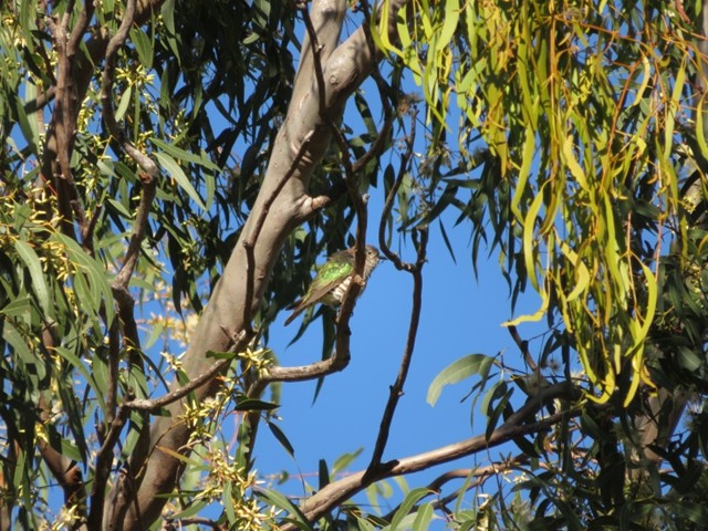
Oxley Creek Common-Secret Forest Walk
A serene patch of bird-inhabited wetland in the midst of an agricultural and industrial area, Oxley Creek Common has a couple of easy paved walking trails and picnic amenities for the visitor.
One trail leads from the picnic area and themed info and amenity block Red Shed and splits into two before ending at two different bird habitats. For those keen to spot some of the 180 plus species of bird that inhabit this space, the best times to walk are at dawn and dusk though ornithological tendencies are not required to enjoy these walks.
 1.3
km
return
30
mins
1.3
km
return
30
mins
Pomax Track
This track passes through heathland where you can see spectacular plants including pomax, banksia, native irises and keraudrenia. It is named after the locally rare heathland plant pomax.
Grade: difficult, steep hills
Suited to: bushwalking, birdwatching, flora walks
Habitat: heathland
Must: look for wildflowers in September
 1.7
km
return
20
mins
1.7
km
return
20
mins
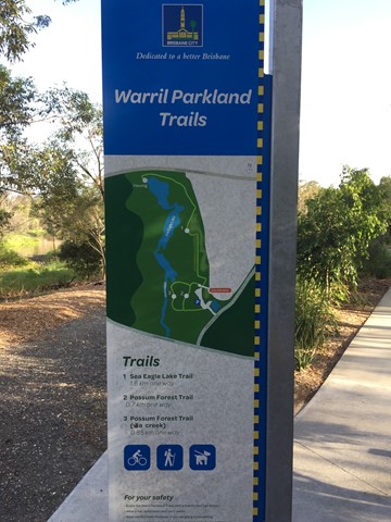
Possum Forest Trail (Warril Parkland)
Bushland next to wetland area of Oxley Creek.
 5
km
return
1
hr
5
km
return
1
hr
Rocks Riverside Walk
Walk along the river, plenty of picnic spots, water bubblers (including for dogs) and Brisbane’s largest riverside park at the end.
750
m
return
10
mins
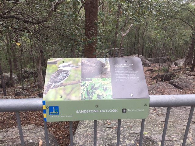
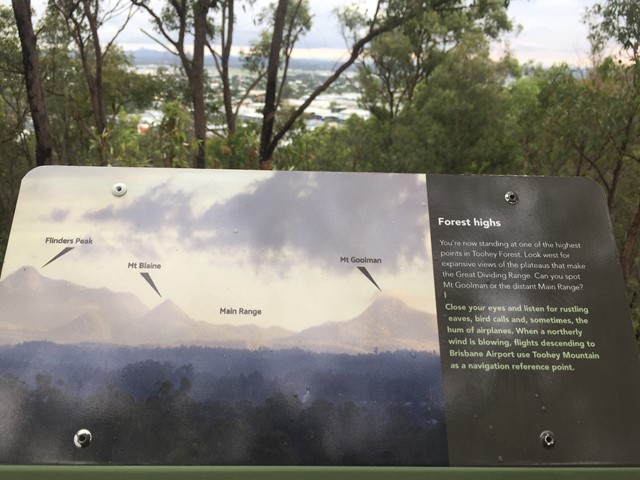
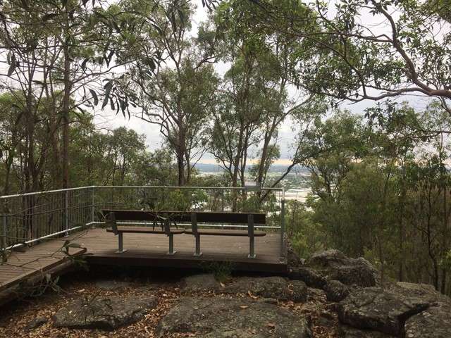
Sandstone Circuit
A short circuit in Toohey Forest Park that takes you to the top of a sandstone knoll the sandstone outlook (117m) and to the Western outlook which offers views of the Flinders Peak group and distant main range.
 4
km
return
1
hr
4
km
return
1
hr
Sandy Camp Rd Wetlands
A flat walk through the lesser-known wetlands.
Wheelchair access is possible but not an easy walk
 4
km
return
1
hr
4
km
return
1
hr
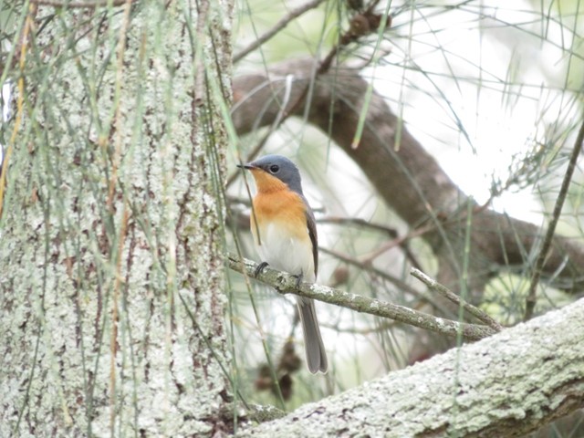
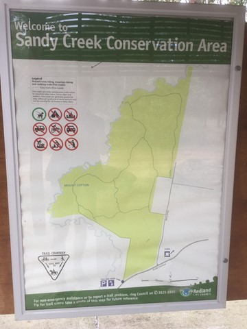
Sandy Creek Conservation Area (Redland Bay)
Management trail through eucalypt bush.
 3
km
return
45
mins
3
km
return
45
mins
Seven Hills Circuit
Sort circuit track that is intersected by the Seven Hills Ridge track and the Seven Hills Gully Track. Wide and clear well maintained track.