
Menu
Popular Walks
-
Mount Gravatt Summit Track
(104 ticks) -
Billai Dhagun Circuit
(91 ticks) -
Toohey Forest to Mt Gravatt
(86 ticks) -
The Cliffs Boardwalk
(63 ticks) -
Tinchi Tamba Wetlands
(62 ticks)
Parent Regions
Summary
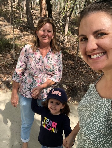
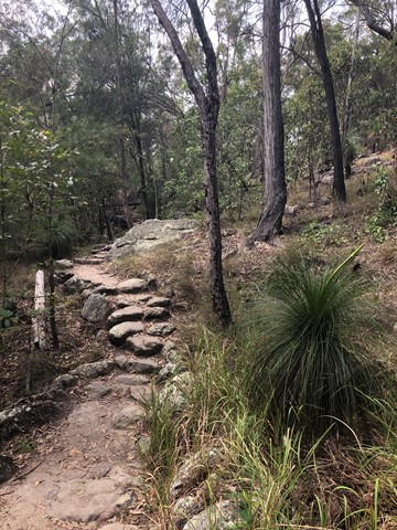
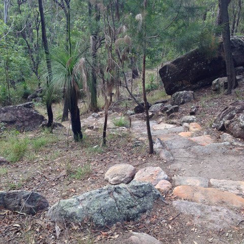
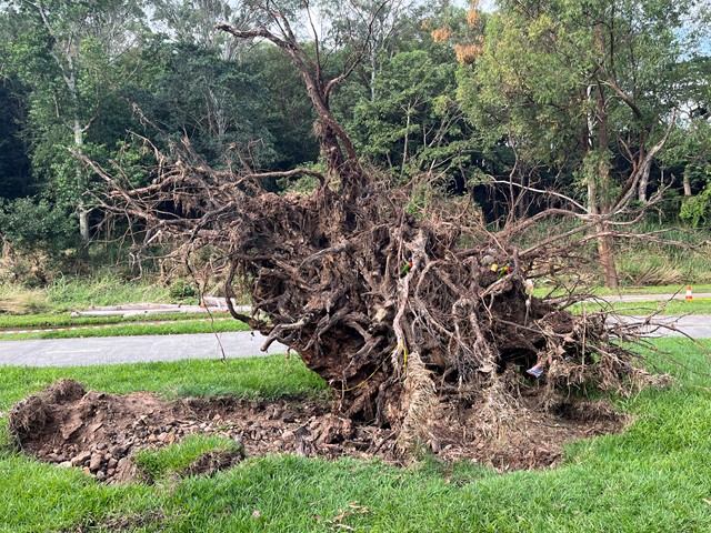
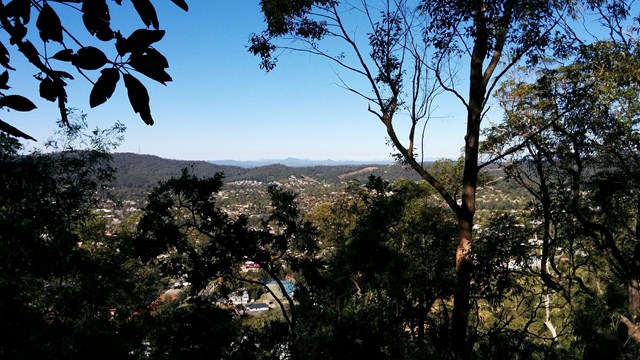
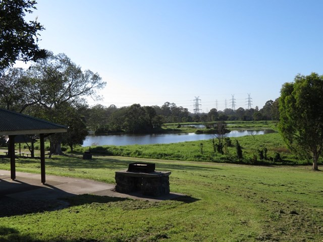
Toohey Forest walk to Mt. Gravatt mountain
Popular Walks
-
Mount Gravatt Summit Track
(104 ticks) -
Billai Dhagun Circuit
(91 ticks) -
Toohey Forest to Mt Gravatt
(86 ticks) -
The Cliffs Boardwalk
(63 ticks) -
Tinchi Tamba Wetlands
(62 ticks)
Parent Regions
History
Features
Amazing rock formations, See what Brisbane bush originally looked liked.
Access
Park at Toohey Forest and many walks lead from there
Maps
Available from Brisbane City Council Website. Downloadable
Accommodation
Camping
No camping permitted in park
Other
Contact details
https://www.brisbane.qld.gov.au/things-to-see-and-do/outdoor-activities/walking-in-brisbane
Walks in Brisbane City Council Local Walks

 1
km
return
1
km
return
 10
mins
10
mins
Grass Tree Track
Beautiful uphill track, starting at the end of Cheval St, Tarragindi, that joins onto the Toohey Ridge Track.
 1.2
km
return
20
mins
1.2
km
return
20
mins
Hemmant Quarry Reserve
Hemmant Quarry Reserve is located on Fleming Road in Hemmant, 11 kilometres east of Brisbane's CBD. The 24 hectare reserve is part of the Bulimba Creek Catchment and contains open eucalypt forest and wetland species around an old quarry that is now a water body and wildlife habitat.
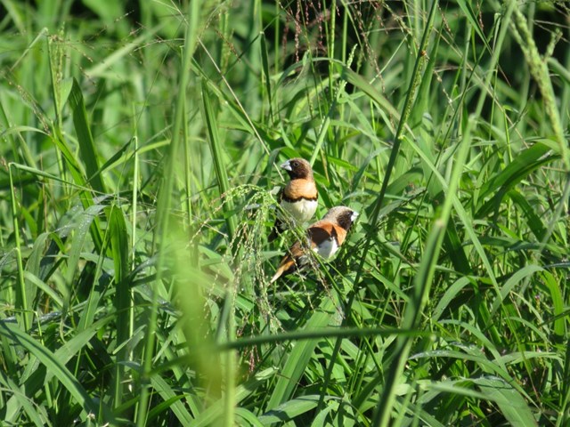
The reserve contains important habitat for a wide array of bird species and other wildlife including koalas.
Visitors can enjoy the reserve through a series of short walking tracks starting from the car park on Fleming Road, Hemmant.
 7
km
one-way
2
hrs
7
km
one-way
2
hrs
Kedron Brook Walk
Walkway along the Kedron Brook, traversing Grange Heights, Stafford, Gordon Park, Kedron, Toombul. Mostly following the Kedron Brook Bikeway.
Grinstead Park to Toombul Station or reverse.
 3.4
km
return
90
mins
3.4
km
return
90
mins
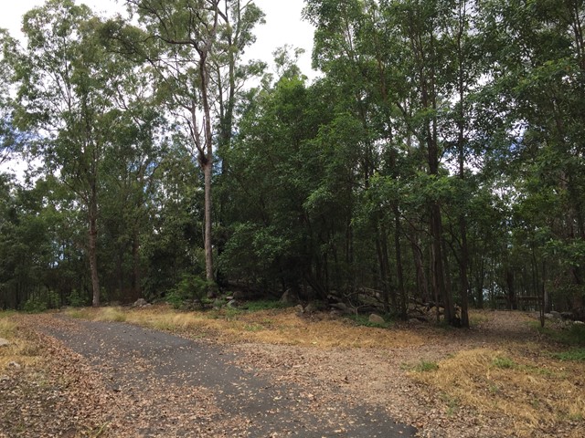
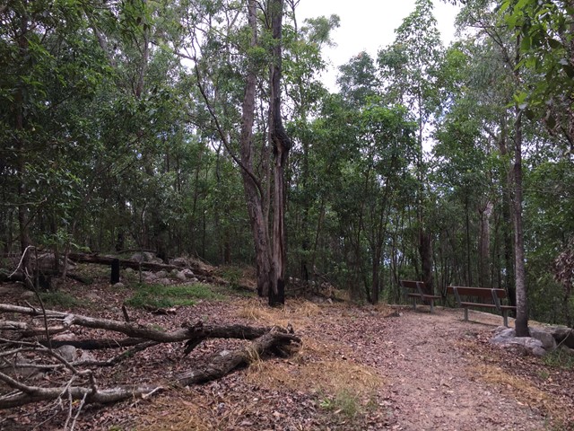
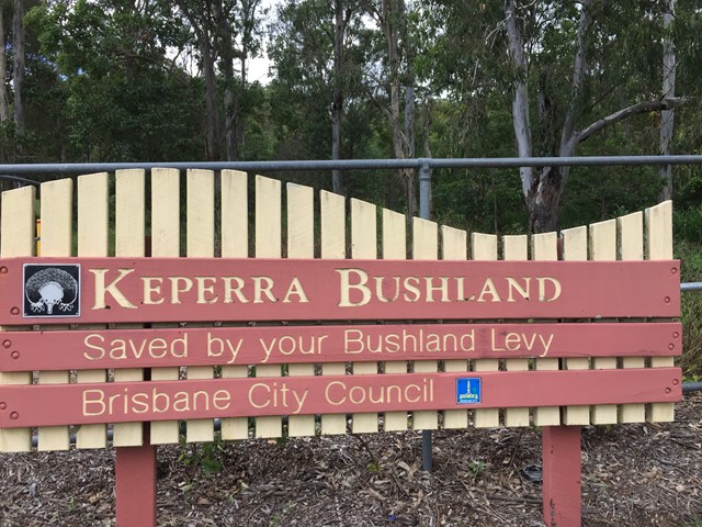
Keperra Bushland Lookout
A steep paved walk to the top of the Keperra Lookout. There are seats at the summit to look over Mount Coot-tha and the Flinders Peak group in the distance. The track loops back down a steep and loose fire trail which drops off the North side of the summit.
 2.8
km
return
1
hr
2.8
km
return
1
hr
Kimberley Forest Park
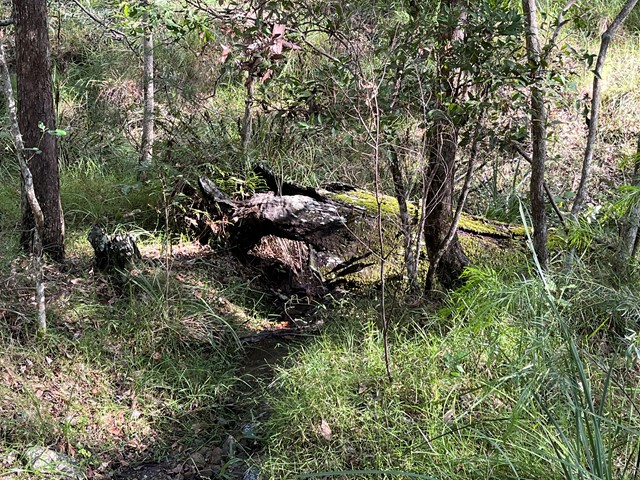
Open eucalypt forest and rain forest pockets along a seasonal creek.
 1.1
km
return
30
mins
1.1
km
return
30
mins
Lota Creek Circuit
Part of the Bayside Parklands ..
This circuit walkway, of which part is a boardwalk, links the formal parkland areas of Lota to the natural reserve areas of Ransome. It passes across Lota Creek, past saltmarshes and paperbark forests before entering the dry eucalypt forest common to this area.
Suited to: walking, wheelchair assisted
Habitat: mangroves, saltmarshes, dry eucalypt and paperbark forests
Must: walk the boardwalk
 4
km
return
1
hr
4
km
return
1
hr
Minnippi Parkland Circuit
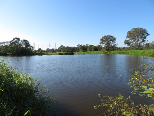
These beautiful lush hectares of meadowland in the centre of Brisbane’s east have at their heart one of the rare surviving lagoons from pre-settlement days when low lying areas around the city fringes featured hundreds of them.
 4.3
km
return
1
hr
4.3
km
return
1
hr
Mookin-bah Reserve
There are a number of trails in the Mookin-bah Reserve. All relatively short but can be combined to walk a little over 5km. This walk started at the Greencamp Road entrance and took the Lorikeets then h9neyeater tracks before merging onto the Fairy wren track and walking to Chelsea Road.
The track is signposted and straightforward with the only tricky part at the start of the walk. The walk starts in just a mown grassy track which quickly reaches an a junction that has no signs. Go left and you will quickly be on the bitumen path.
The return journey is approximately 4.3 km
 1.2
km
one-way
30
mins
1.2
km
one-way
30
mins
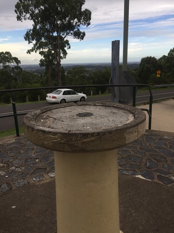
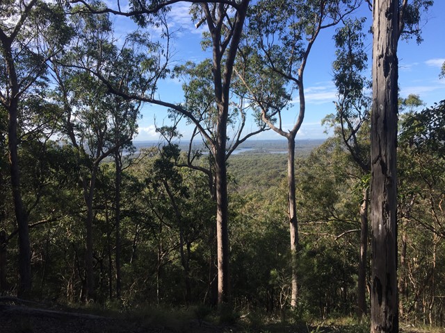
Mount Gravatt Summit Track
You will see creepers, ferns, shrubs and large trees on this winding track up the mountain. Once you reach the summit a breathtaking view is your reward. Admire the spectacular views from Mt Gravatt Outlook.
 4.5
km
return
4.5
km
return
Mount Petrie
This walk is unfortunately inaccessible as it traverses the Belmont shooting complex.