- Mount Gravatt Summit Track (Brisbane City Council Local Walks)
- She-Oak Track (Whites Hill Reserve) (Brisbane City Council Local Walks)
- Grass Tree Track (Brisbane City Council Local Walks)
- Toohey Forest Park Loop (Brisbane City Council Local Walks)
- Sandstone Circuit (Brisbane City Council Local Walks)
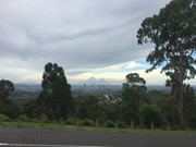
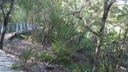
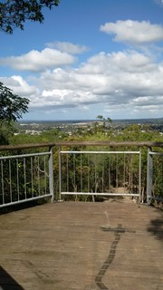
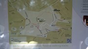
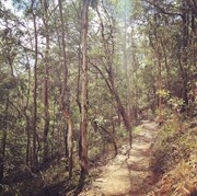
This track from the base of Mt Gravatt follows a track up the mountain, passing a lookout over the east. The path is quite rough in places with lots of loose rocks, though there are also steps and bridges. To reach the summit you need to turn left onto the Azania Way track at the end, and follow this for another .4km. You can then return back to where you started by following the summit track (1.2km)
Getting there
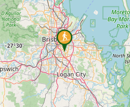
Start the walk at Gertrude Petty Place close to the start of Mt Gravatt Outlook Drive and on the left.
Maps
http://www.brisbane.qld.gov.au/sites/default/files/20150220-toohey-forest-track-map.pdf
Route/Trail notes
A detailed description of the walk!
Permits/Costs
Do you need any permits? What's the cost?
Other References
How can I find more info? Any guide books?
GPS Tracks
- No GPS available for this walk yet.
Where




 1.5
1.5 40
40
Comments