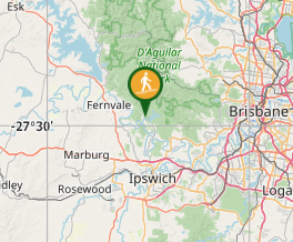
A shorter way to see some of Lake Manchester without having to double back.
Getting there
Take Lake Manchester Road to the Lake Manchester day use area. The road is gravel and has the occasional pothole, but is no trouble for a little hatchback.
Maps
Google Maps.
Route/Trail notes
This shorter trail packs a lot of variety into 5.3 km: lake, views, hills, forests, grassland, creek crossing, wilderness and a barbie at the end. Anti-clockwise is probably best.
Route: Start from the Lake Manchester Day Use area. Follow the signs to the dam and then go up left past the dam wall. Follow the main path for around 2.2km from the carpark (great views).
At around the 2.2km point you'll reach a Y-junction - go left and uphill away from the dam. Stay on this path for 1.5 km. There are some fair inclines here and MANY spider webs. The path is obvious and wide enough for vehicles, but short sections can be overgrown with tall grass. Clearly not used often. Some good mountain and valley views higher up.
After about 1.5km you will come to a gate. Past this, the track veers left and downhill (quite steep, loose and rutted) and puts you back out onto Lake Manchester Road.
Then, simply follow the road 1.2km back to the carpark. The road is a mix of gravel and dirt - traffic is light and speeds are low. About 1km from the Day Use carpark, you'll cross a causeway over Cabbage Tree Creek - there is access to the bank and it's a nice-looking spot to soak your feet.
Permits/Costs
None.
GPS Tracks
- No GPS available for this walk yet.


 5.3
5.3 90
90
Comments